 7.7 mi from the trailhead
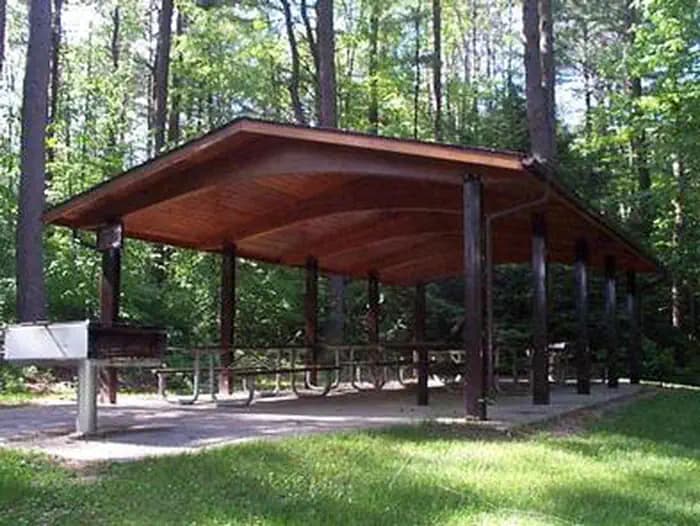
Edward MacDowell Lake Day Use Facilities
Campground · NH
3.2 mi out & back · 948 ft gain · 2,428 ft high point · Moderate
From Mt Monadnock Old Toll Road Parking via the Old Halfway House Trail, the Cart Path, and the Royce Trail (1.3 mi)
NH · OpenStreetMap contributors
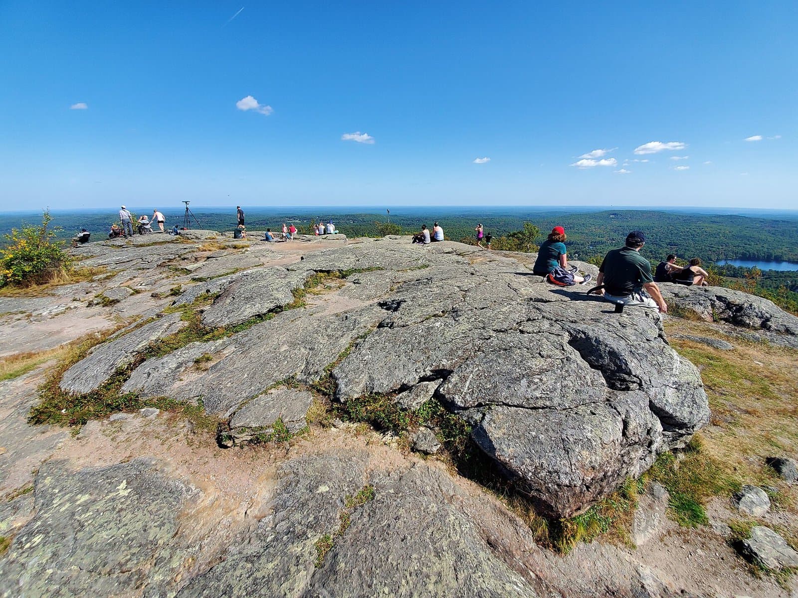
This 3.2 mile out and back from Mt Monadnock Old Toll Road Parking via Old Halfway House Trail, Cart Path, and Wantastiquet-Monadnock Trail reaches Monte Rosa peak with 948 feet of climb.
948 ft of gain round trip.
The closest places to sleep, measured from the trailhead.
Ranked the same way, within twenty-five miles.
What the trail reaches, measured from the start.
The hike from its start, the approach dashed. Drag with two fingers, or hold a key to zoom.
Trail data: USFS, NPS, © OpenStreetMap contributors (ODbL). Elevation: USGS 3DEP via Mapzen terrain tiles. Nearby reading: Wikipedia. Download the trail and feature data.
Campground · NH
3.9 mi out & back · 1,172 ft gain · Moderate
NH
Today: Mostly Sunny · wind 5 mph SW
Hikes that read like this one, wherever they are.
3.3 mi out & back · 1,007 ft gain · Moderate
NH · Camp 8 mi away
5.2 mi out & back · 1,682 ft gain · Hard
NH · Camp 8 mi away
3.2 mi out & back · 732 ft gain · Moderate
NH · Camp 8 mi away
3.0 mi out & back · 719 ft gain · Moderate
NH · Camp 8 mi away