7.7 mi from the trailhead
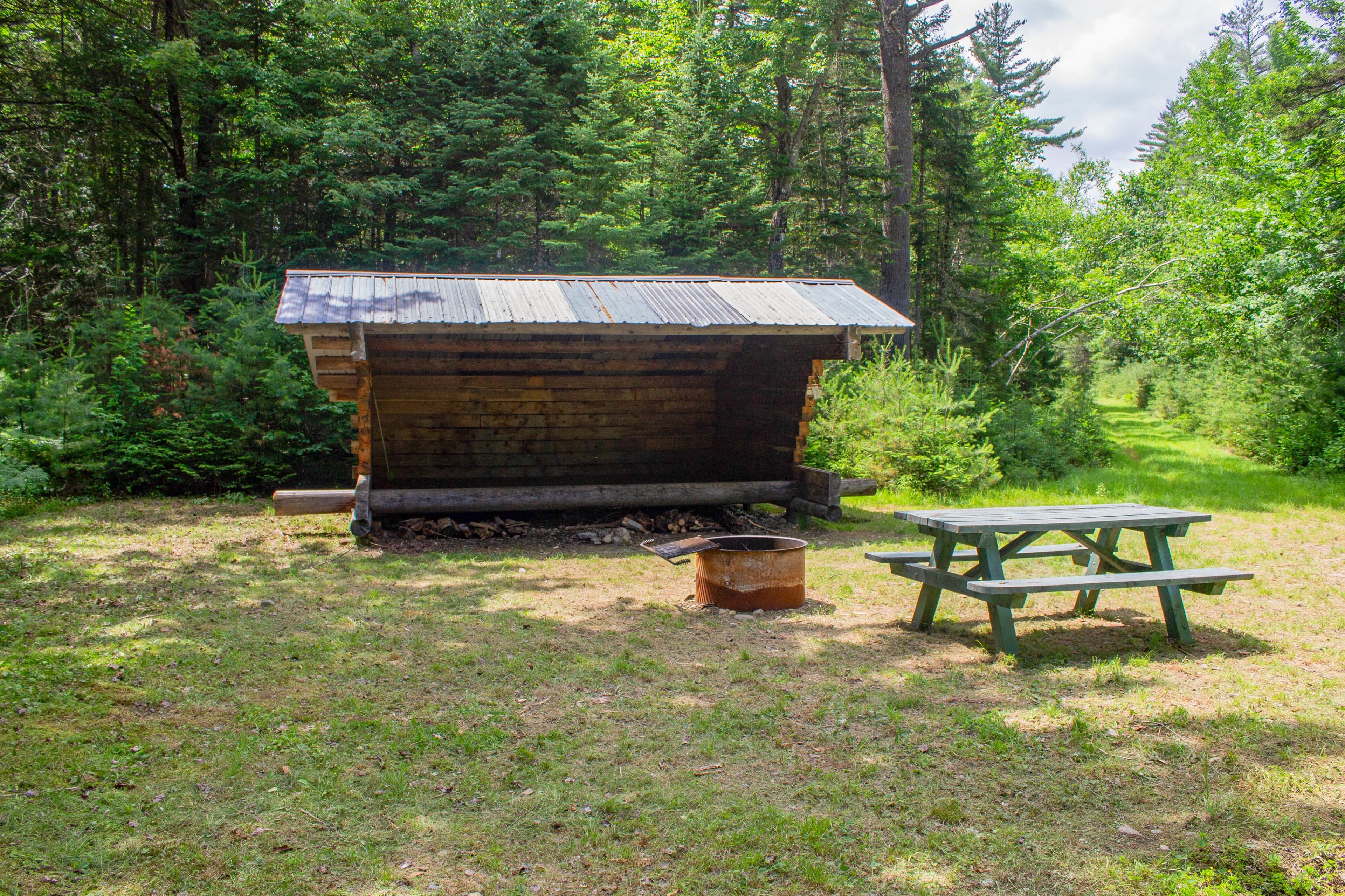
Katahdin Brook Lean-to
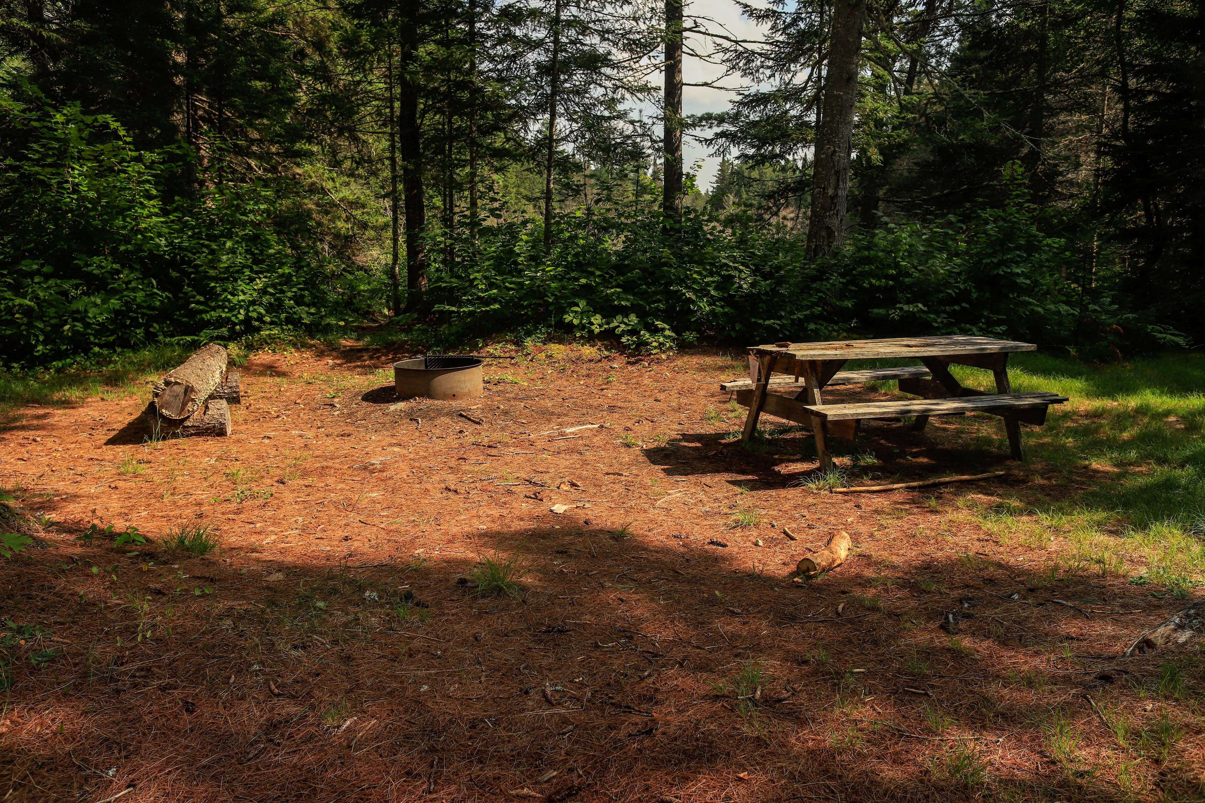
Campground
4.6 mi out & back · 1,773 ft gain · 5,255 ft high point
From Appalachian National Scenic Trailhead via the Saddle Trail, the Northwest Basin Trail, and the Hamlin Ridge Trail (2.0 mi)
ME · OpenStreetMap contributors
This 0.3-mile cut-off reaches Hamlin Peak at 4,759 feet in Baxter State Park, with Howe Peaks nearby.
1,773 ft of gain round trip.
The closest places to sleep, measured from the trailhead.
Ranked the same way, within twenty-five miles.
What the trail reaches, measured from the start.
The hike from its start, the approach dashed. Drag with two fingers, or hold a key to zoom.
Trail data: USFS, NPS, © OpenStreetMap contributors (ODbL). Elevation: USGS 3DEP via Mapzen terrain tiles. Nearby reading: Wikipedia. Download the trail and feature data.
Campground
2.5 mi out & back · 2,338 ft gain
ME · Camp 8 mi away
Thu: Widespread Frost then Sunny · wind 8 mph NE
Hikes that read like this one, wherever they are.
6.0 mi out & back · 3,462 ft gain
ME · Camp 8 mi away
17.3 mi out & back · 5,000 ft gain
ME · Camp 8 mi away
13.8 mi out & back · 5,064 ft gain
ME · Camp 8 mi away
3.9 mi out & back · 2,342 ft gain
ME · Camp 8 mi away