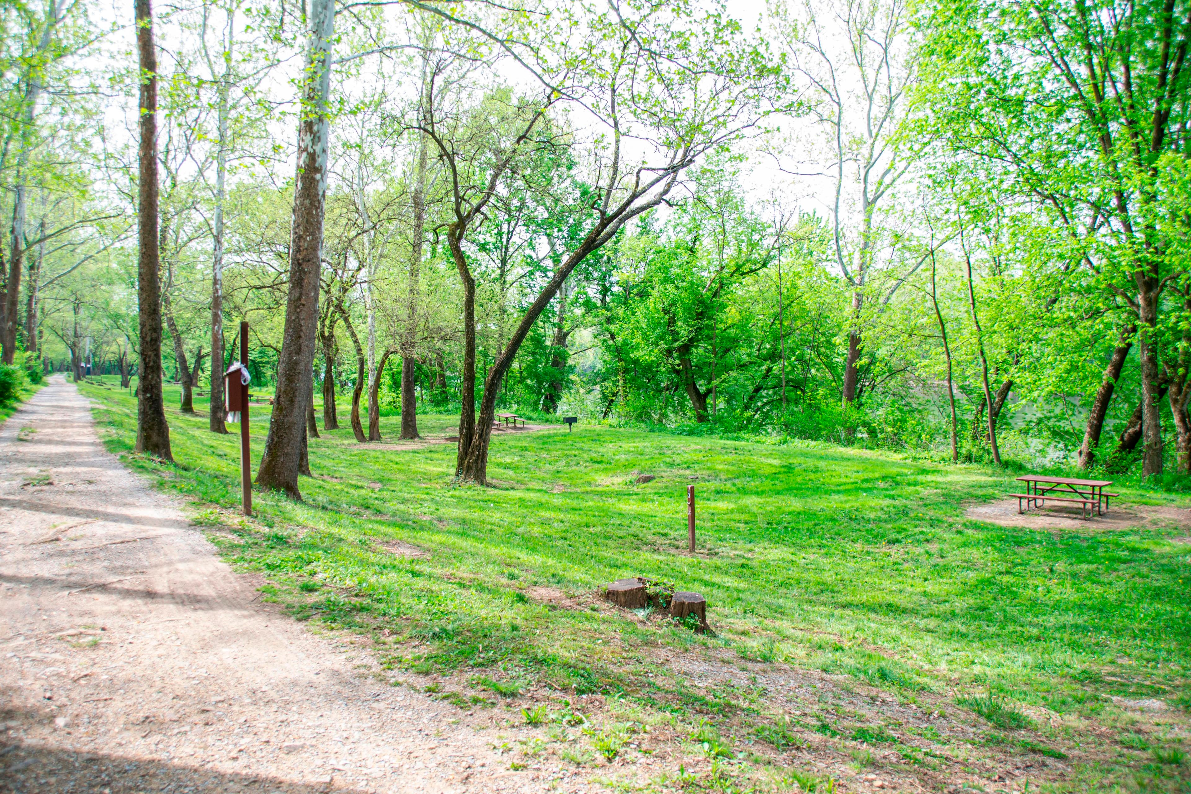
1.8 mi from the trailhead
Rohrbach Group Campground
Campground · MD

2.6 mi loop · 249 ft gain · 442 ft high point · Easy
Loop with Spur to 11th Ct., the Union Advance Trail, Burnside Bridge, and Burnside Bridge Ped Path RT 002S
In Antietam National Battlefield · MD · National Park Service
This loop reaches Old Dam Waterfall and Georgians Overlook at Antietam National Battlefield, climbing 249 feet.
249 ft of gain, the approach both ways included.
The closest places to sleep, measured from the trailhead.
Ranked the same way, within twenty-five miles.
What the trail reaches, measured from the start.
The hike from its start, the approach dashed. Drag with two fingers, or hold a key to zoom.
Trail data: USFS, NPS, © OpenStreetMap contributors (ODbL). Elevation: USGS 3DEP via Mapzen terrain tiles. Nearby reading: Wikipedia. Photos: Wikimedia Commons contributors, licensed as shown on each photo. Download the trail and feature data.
Campground
6.8 mi loop · 1,406 ft gain · Hard
Catoctin Mountain Park · Camp under a mile away
Sat: Partly Sunny · wind 8 to 18 mph NW
Hikes that read like this one, wherever they are.

2.6 mi loop · 304 ft gain · Easy
Antietam National Battlefield · Camp 2 mi away

2.4 mi out & back · 244 ft gain · Easy
Antietam National Battlefield · Camp under a mile away

0.8 mi loop · 83 ft gain · Easy
Antietam National Battlefield · Camp 2 mi away

0.8 mi out & back · 128 ft gain · Easy
Antietam National Battlefield · Camp 2 mi away