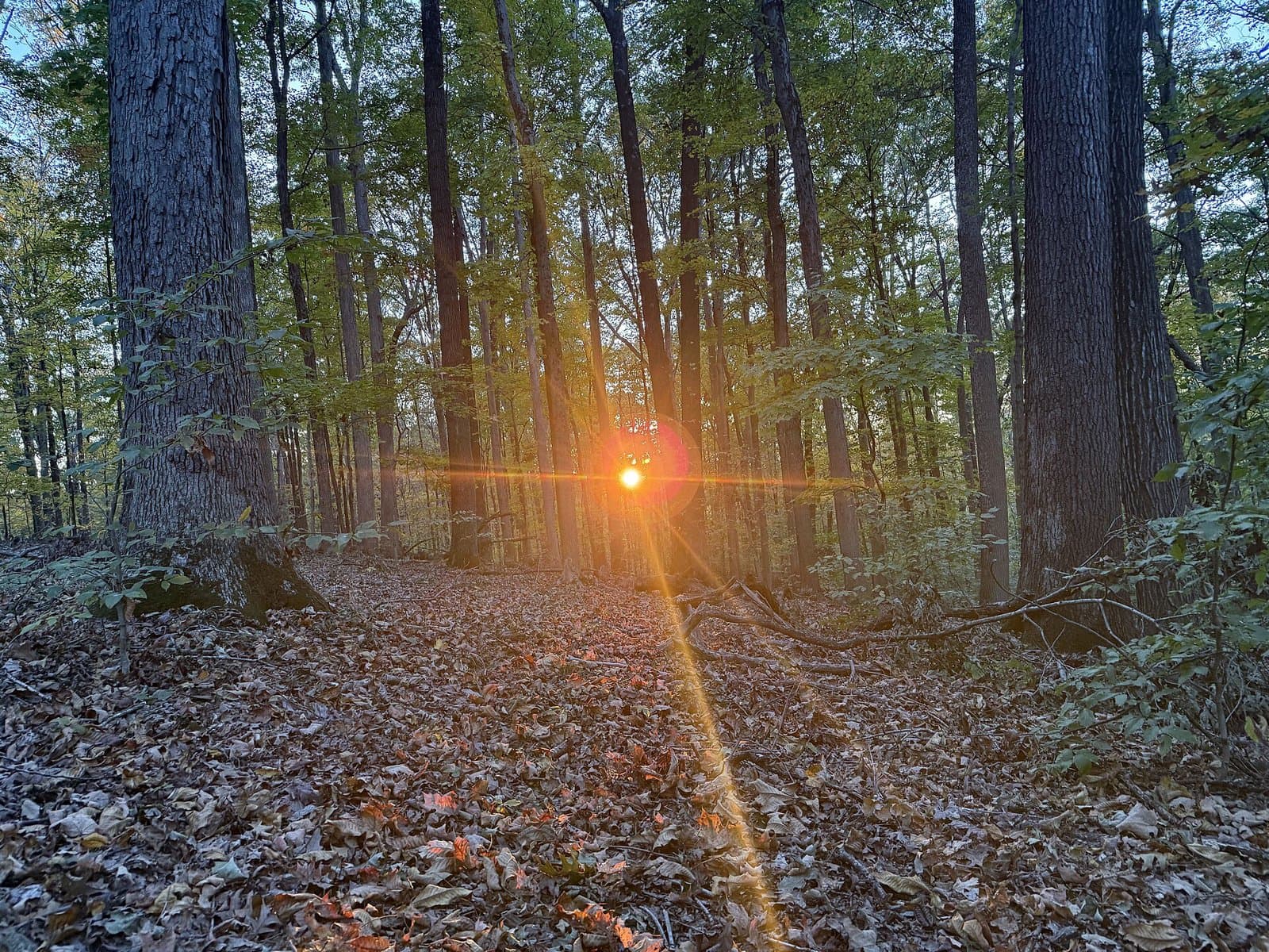
24 mi from you
Peninsula Trail
- Ends at Lake Monroe
- Inside Charles C. Deam Wilderness
- Camp 3 mi away
9.6 mi out & back · 816 ft gain · Moderate
Charles C. Deam Wilderness · Camp 3 mi away
2.0 mi out & back · 636 ft gain · 953 ft high point · Moderate
IN · OpenStreetMap contributors
Pinnacle Peak Trail is a 2.0 mi out and back route to Pinnacle, with 636 ft of climb.
636 ft of gain round trip.
Ranked the same way, within twenty-five miles.
What the trail reaches, measured from the start.
The route at the trailhead. Drag with two fingers, or hold a key to zoom.
Trail data: USFS, NPS, © OpenStreetMap contributors (ODbL). Elevation: USGS 3DEP via Mapzen terrain tiles. Nearby reading: Wikipedia. Download the trail and feature data.
4.1 mi out & back · 745 ft gain · Moderate
IN · Camp 14 mi away
Mon: Areas Of Drizzle · wind 6 mph SSE
Hikes that read like this one, wherever they are.
3.9 mi out & back · 844 ft gain · Moderate
NC
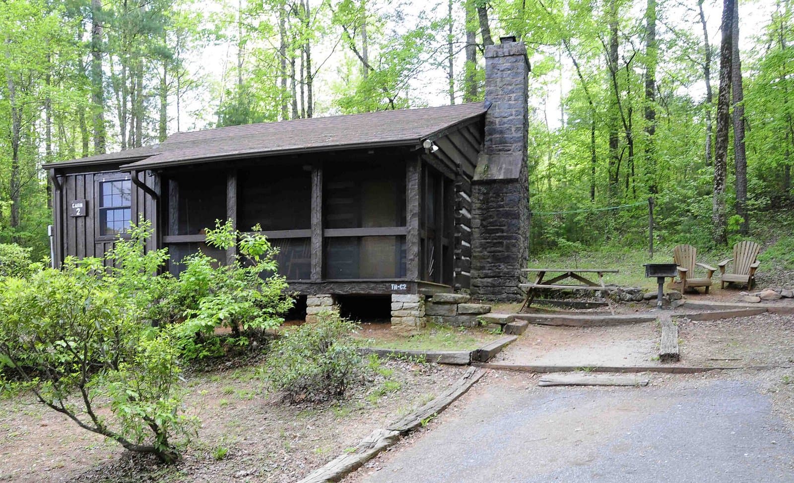
11.0 mi out & back · 2,893 ft gain · Very hard
SC · Camp 14 mi away
3.9 mi out & back · 1,138 ft gain · Moderate
KY

3.8 mi out & back · 1,221 ft gain · Moderate
Cumberland Gap National Historical Park · Camp 2 mi away