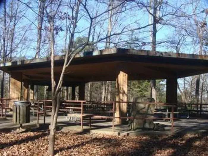
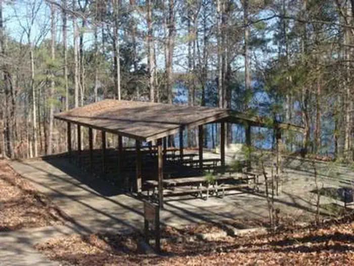
 1.7 mi from the trailhead
Buford Dam Park Shelters (Ga)
Campground · GA
3.7 mi out & back · 239 ft gain · 1,022 ft high point · Easy
In Chattahoochee River National Recreation Area · GA · National Park Service
Bowmans Island West Trail System climbs 239 feet over 3.7 miles to a viewpoint in Chattahoochee River National Recreation Area near Lake Lanier.
239 ft of gain round trip.
The closest places to sleep, measured from the trailhead.
Ranked the same way, within twenty-five miles.
What the trail reaches, measured from the start.
The route at the trailhead. Drag with two fingers, or hold a key to zoom.
Trail data: USFS, NPS, © OpenStreetMap contributors (ODbL). Elevation: USGS 3DEP via Mapzen terrain tiles. Nearby reading: Wikipedia. Download the trail and feature data.
Campground · GA
2.1 mi out & back · 404 ft gain · Easy
Chattahoochee River National Recreation Area · Camp 15 mi away
0.9 mi loop · 104 ft gain · Easy
GA · Camp 14 mi away
Hikes that read like this one, wherever they are.
5.6 mi out & back · 420 ft gain · Moderate
Chattahoochee River National Recreation Area · Camp 15 mi away
5.0 mi out & back · 748 ft gain · Moderate
Chattahoochee River National Recreation Area
3.7 mi out & back · 729 ft gain · Moderate
Chattahoochee River National Recreation Area

2.1 mi out & back · 404 ft gain · Easy
Chattahoochee River National Recreation Area · Camp 15 mi away
Today: Sunny · wind 5 mph NW