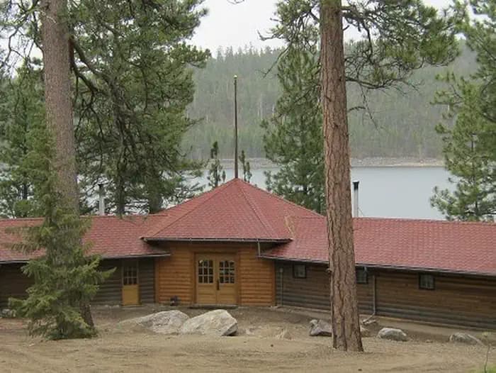
0.1 mi from the trailhead
Three Sisters Group Site (MT)
Campground

14.8 mi one way · 3,278 ft gain · 6,712 ft high point · Very hard
In Bitterroot National Forest · Montana · U.S. Forest Service
Rock Creek goes one way through Bitterroot National Forest to Lake Como and Bell Lake, passing Elk Lake and waterfalls over 14.8 miles.
3,278 ft of gain and 781 ft of descent.
What the trail reaches, measured from the start.
The route at the trailhead. Drag with two fingers, or hold a key to zoom.
Trail data: USFS, NPS, © OpenStreetMap contributors (ODbL). Elevation: USGS 3DEP via Mapzen terrain tiles. Nearby reading: Wikipedia. Photos: Wikimedia Commons contributors, licensed as shown on each photo. Download the trail and feature data.
The closest places to sleep, measured from the trailhead.
Ranked the same way, within twenty-five miles.
 13 mi from you
8.2 mi out & back · 3,807 ft gain · Very hard
Bitterroot National Forest · Camp 6 mi away
 25 mi from you
13.7 mi out & back · 3,016 ft gain · Very hard
Selway-Bitterroot Wilderness · Camp 4 mi away
5.8 mi out & back · 3,316 ft gain · Very hard
Selway-Bitterroot Wilderness · Camp 12 mi away
10.0 mi out & back · 3,856 ft gain · Very hard
Bitterroot National Forest · Camp 3 mi away
 23 mi from you
8.8 mi loop · 2,391 ft gain · Hard
Selway-Bitterroot Wilderness · Camp 10 mi away
 22 mi from you
17.1 mi out & back · 3,298 ft gain · Very hard
Bitterroot National Forest · Camp under a mile away
Thu: Mostly Cloudy · wind 1 to 6 mph W
Hikes that read like this one, wherever they are.

8.6 mi out & back · 2,369 ft gain · Hard
Bitterroot National Forest · Camp 2 mi away
26.0 mi one way · 7,264 ft gain · Very hard
Bitterroot National Forest · Camp 9 mi away
4.2 mi out & back · 920 ft gain · Moderate
Bitterroot National Forest · Camp 5 mi away
24.5 mi one way · 6,179 ft gain · Very hard
Bitterroot National Forest · Camp 9 mi away