 4.7 mi from the trailhead
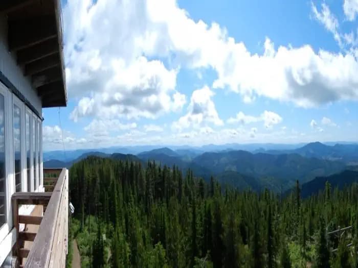
Bald Mountain Lookout (Nez Perce-Clearwater National Forests, ID)
Campground · Idaho
2.2 mi loop · 533 ft gain · 3,285 ft high point · Easy
Loop with Beason Meadows and East Fork Meadow Creek
In St. Joe National Forest · Idaho · U.S. Forest Service
This loop through St. Joe National Forest uses Beason Meadows and East Fork Meadow Creek trails, climbing 533 feet over 2.2 miles.
533 ft of gain around the loop.
The closest places to sleep, measured from the trailhead.
Ranked the same way, within twenty-five miles.
The route at the trailhead. Drag with two fingers, or hold a key to zoom.
Trail data: USFS, NPS, © OpenStreetMap contributors (ODbL). Elevation: USGS 3DEP via Mapzen terrain tiles. Nearby reading: Wikipedia. Download the trail and feature data.
Campground
9.5 mi out & back · 2,621 ft gain · Hard
St. Joe National Forest · Camp 9 mi away
Hikes that read like this one, wherever they are.
2.2 mi loop · 548 ft gain · Easy
St. Joe National Forest · Camp 5 mi away
2.1 mi out & back · 358 ft gain · Easy
St. Joe National Forest · Camp 4 mi away
6.1 mi out & back · 1,469 ft gain · Hard
St. Joe National Forest · Camp 5 mi away
3.2 mi out & back · 317 ft gain · Easy
St. Joe National Forest · Camp 7 mi away
Tue: Chance Light Rain · wind 3 mph SE
