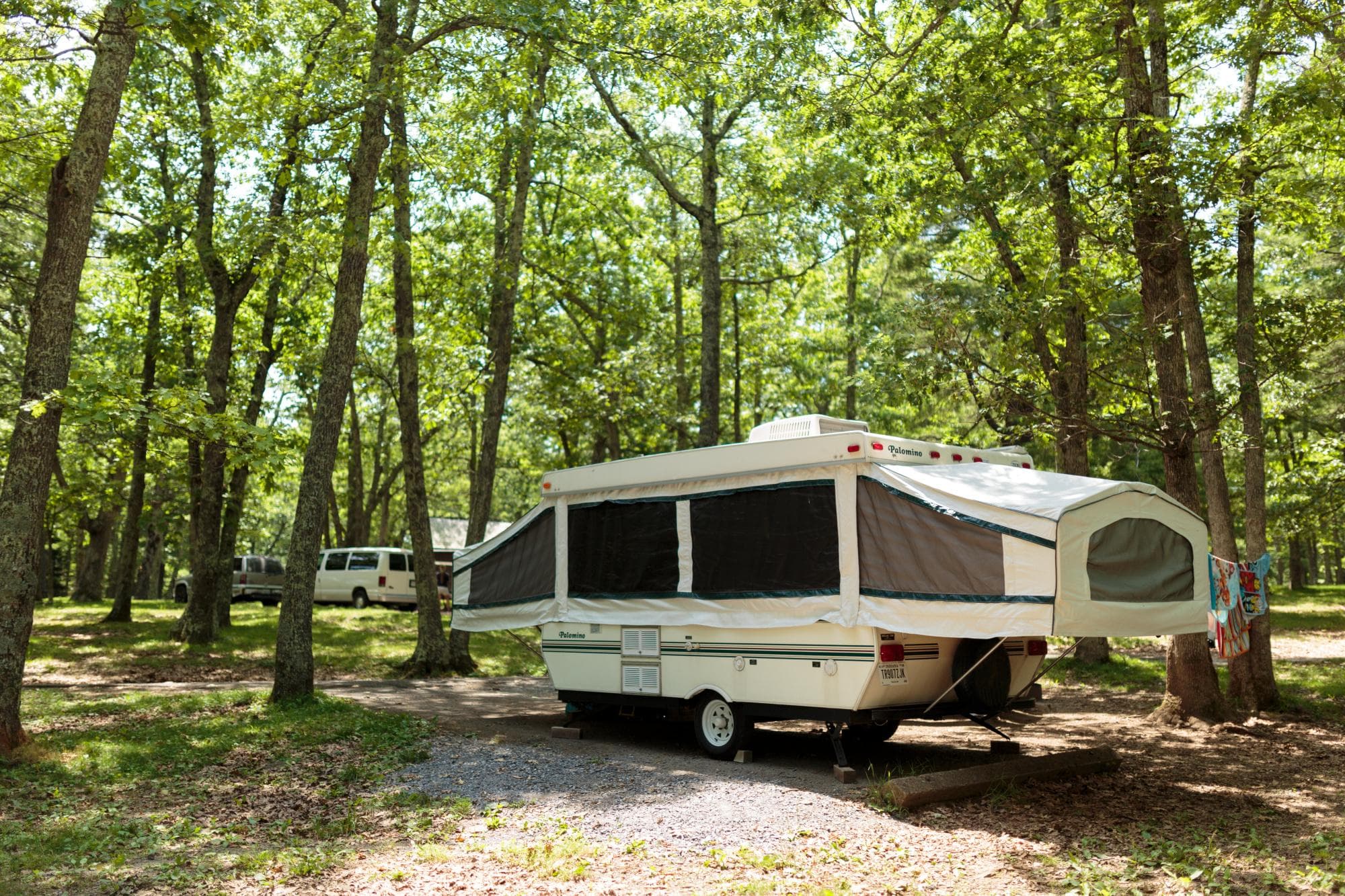
1.6 mi from the trailhead
Big Meadows Campground - Shenandoah (VA)
Campground · VA
2.8 mi out & back · 575 ft gain · 3,436 ft high point
VA · OpenStreetMap contributors
Tanners Ridge Road ascends to Tanners Ridge Overlook in Shenandoah National Park, with Lewis Spring Falls nearby.
575 ft of gain round trip.
The closest places to sleep, measured from the trailhead.
Ranked the same way, within twenty-five miles.
What the trail reaches, measured from the start.
The route at the trailhead. Drag with two fingers, or hold a key to zoom.
Trail data: USFS, NPS, © OpenStreetMap contributors (ODbL). Elevation: USGS 3DEP via Mapzen terrain tiles. Nearby reading: Wikipedia. Download the trail and feature data.
Campground · VA
5.5 mi out & back · 1,608 ft gain · Moderate
Shenandoah National Park · Camp under a mile away
Today: Mostly Cloudy · wind 12 mph NE
Hikes that read like this one, wherever they are.
2.3 mi out & back · 211 ft gain · Moderate
Shenandoah National Park · Camp under a mile away
3.9 mi out & back · 1,324 ft gain · Moderate
Shenandoah National Park · Camp under a mile away
2.9 mi out & back · 899 ft gain · Moderate
Shenandoah National Park · Camp under a mile away
12.4 mi loop · 3,300 ft gain · Moderate
Shenandoah National Park · Camp under a mile away