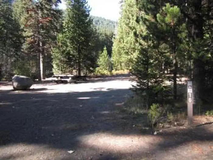
 4.4 mi from the trailhead
Nottingham Campground
Campground · Oregon

15.3 mi out & back · 4,862 ft gain · 6,521 ft high point · Very hard
In Badger Creek Wilderness · Oregon · U.S. Forest Service
Divide is a 15.3 mile out and back trail in Badger Creek Wilderness, climbing 4,862 feet to 6,521 feet along Gumjuwac Saddle, Lookout Mountain, Badger Lake, and Palisade Point.
4,862 ft of gain round trip.
The closest places to sleep, measured from the trailhead.
Ranked the same way, within twenty-five miles.
What the trail reaches, measured from the start.
The route at the trailhead. Drag with two fingers, or hold a key to zoom.
Trail data: USFS, NPS, © OpenStreetMap contributors (ODbL). Elevation: USGS 3DEP via Mapzen terrain tiles. Nearby reading: Wikipedia. Photos: Wikimedia Commons contributors, licensed as shown on each photo. Download the trail and feature data.
Campground · Oregon
11.2 mi loop · 3,458 ft gain · Very hard
Mt. Hood National Forest · Camp 3 mi away
Hikes that read like this one, wherever they are.
12.2 mi out & back · 3,661 ft gain · Very hard
Beaverhead National Forest · Camp 8 mi away
16.3 mi out & back · 4,664 ft gain · Very hard
Washington · Camp 6 mi away
23.5 mi out & back · 4,544 ft gain · Very hard
Bitterroot National Forest · Camp 6 mi away
15.8 mi out & back · 4,078 ft gain · Very hard
Badger Creek Wilderness · Camp 2 mi away
Sun: Chance Snow Showers then Mostly Cloudy · wind 0 to 25 mph WSW


