24 mi from you
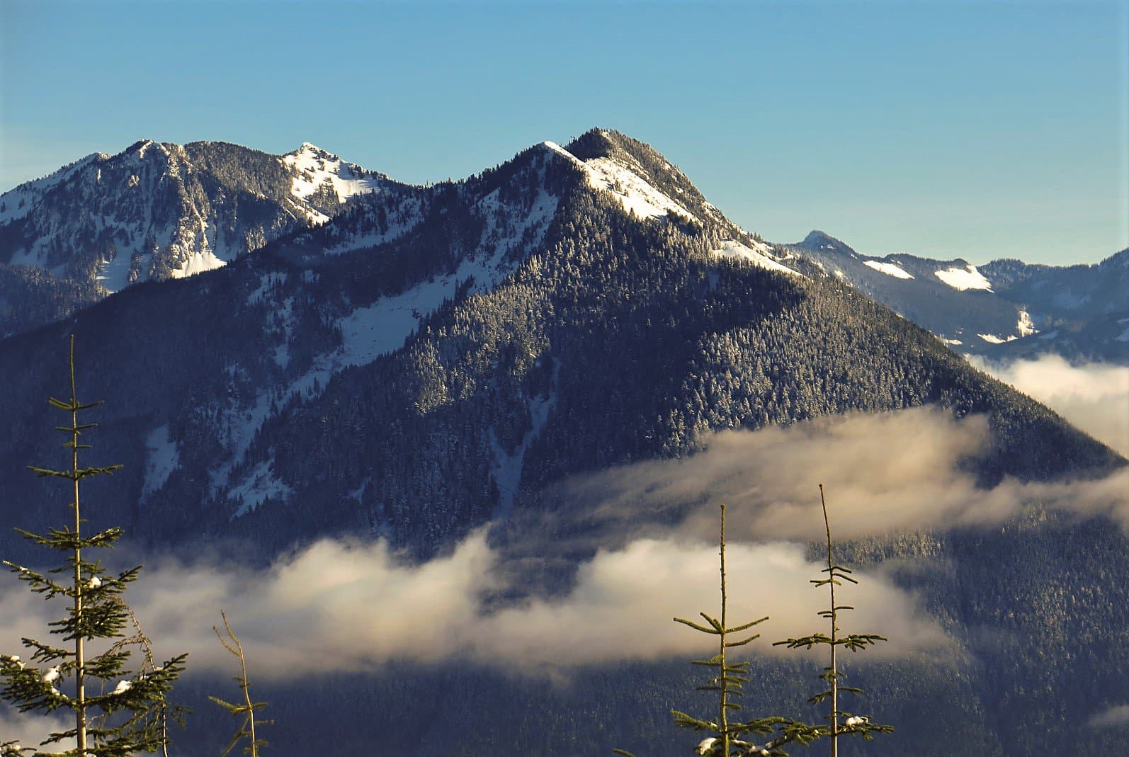
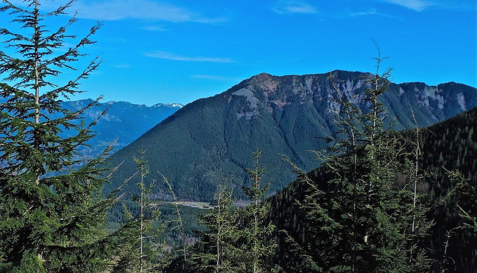
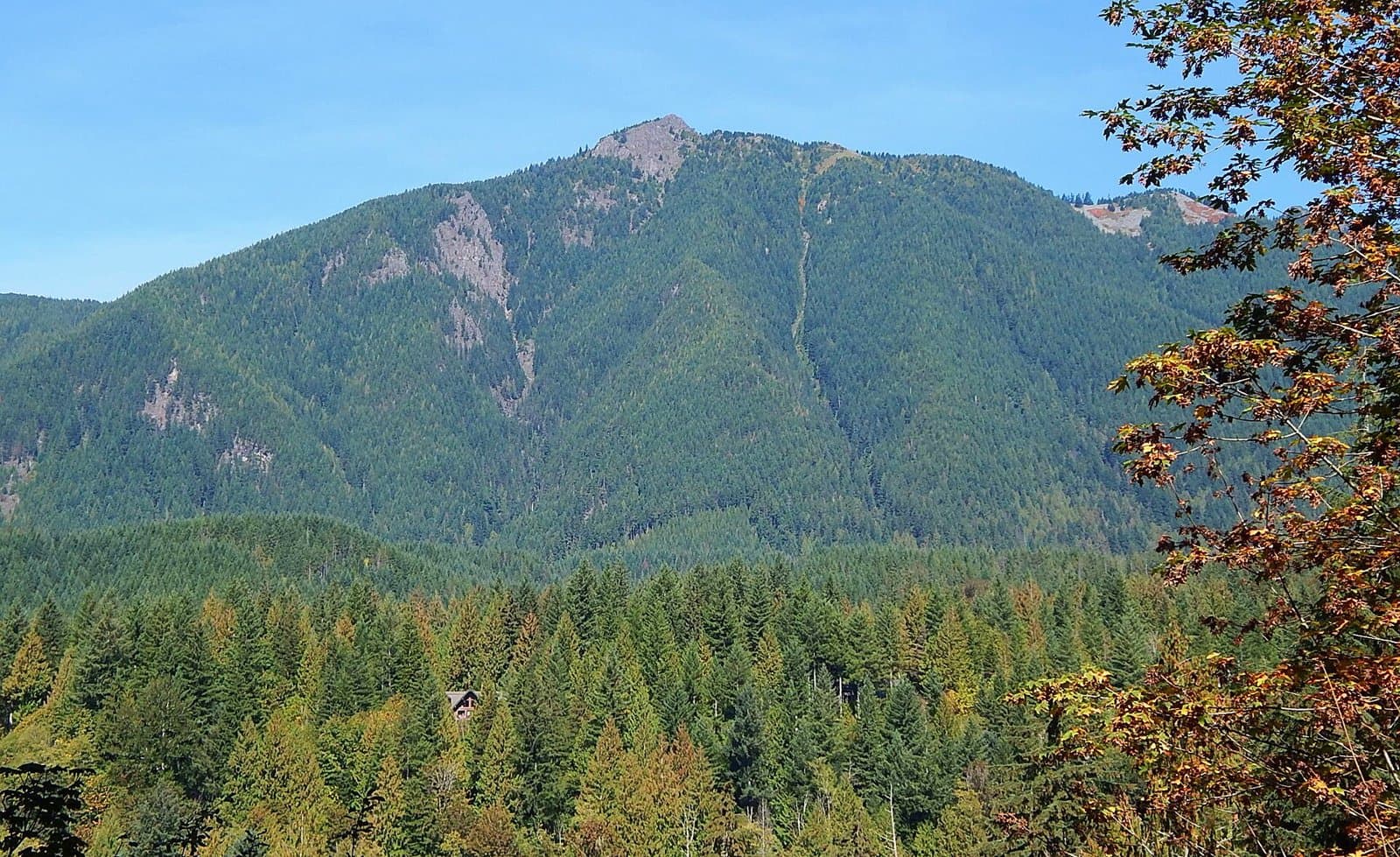
McClellan Butte Trail
- Summits McClellan Butte
- Inside Snoqualmie National Forest
- 4,155 ft of climbing
10.5 mi out & back · 4,155 ft gain
Snoqualmie National Forest · Camp 1 mi away
3.9 mi out & back · 1,278 ft gain · 1,362 ft high point
From Jim Whittaker Wilderness Creek Trailhead via the Whittaker Wilderness Peak Trail and the Long View Peak Trail (1.5 mi)
Washington · OpenStreetMap contributors
Ring Road Trail extends 0.5 mi to Shy Bear Pass and Long View Peak. Doughty Falls and viewpoints lie near the route.
1,278 ft of gain round trip.
Ranked the same way, within twenty-five miles.
What the trail reaches, measured from the start.
The hike from its start, the approach dashed. Drag with two fingers, or hold a key to zoom.
Trail data: USFS, NPS, © OpenStreetMap contributors (ODbL). Elevation: USGS 3DEP via Mapzen terrain tiles. Nearby reading: Wikipedia. Download the trail and feature data.
10.1 mi out & back · 4,833 ft gain
Washington · Camp 7 mi away
Hikes that read like this one, wherever they are.
3.5 mi out & back · 1,190 ft gain
Washington
5.7 mi out & back · 1,758 ft gain
Washington
0.7 mi out & back · 124 ft gain
Washington
9.5 mi out & back · 2,416 ft gain
Washington
Today: Showers And Thunderstorms · wind 10 to 15 mph SW