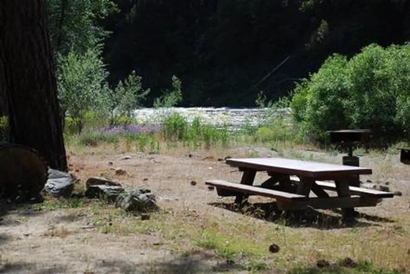
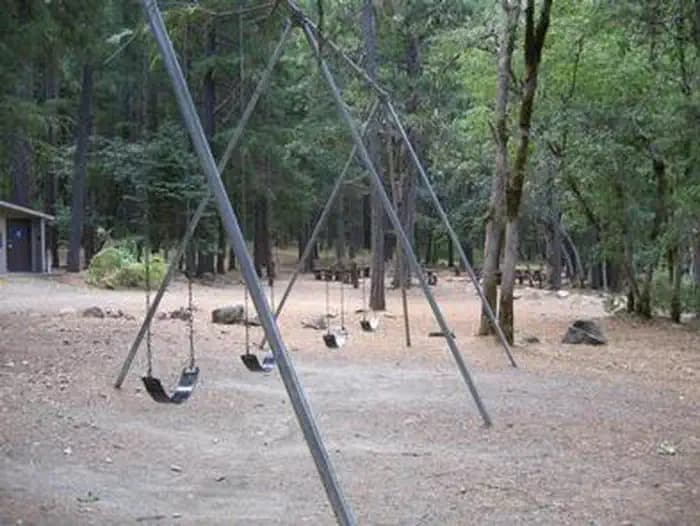
 4.1 mi from the trailhead
Indian Scotty Group Site
Campground · California
11.1 mi out & back · 3,214 ft gain · 6,368 ft high point · Very hard
From hiker parking via Lovers Camp, Canyon Creek, Red Rock, PCT - California Section Q, and the Pacific Crest Trail (5.3 mi)
In Klamath National Forest · California · U.S. Forest Service
Cold Spring reaches 6,368 feet via Lovers Camp, Canyon Creek, Red Rock, and Pacific Crest Trail in Klamath National Forest. This very difficult out and back is 11.1 miles.
3,214 ft of gain round trip.
The closest places to sleep, measured from the trailhead.
Ranked the same way, within twenty-five miles.
The hike from its start, the approach dashed. Drag with two fingers, or hold a key to zoom.
Trail data: USFS, NPS, © OpenStreetMap contributors (ODbL). Elevation: USGS 3DEP via Mapzen terrain tiles. Nearby reading: Wikipedia. Download the trail and feature data.
Campground · California
17.2 mi out & back · 6,189 ft gain · Very hard
Klamath National Forest · Camp 1 mi away
No carrier reports signal at this spot.
Sun: Mostly Sunny · wind 1 to 5 mph NNW