4.4 mi from the trailhead
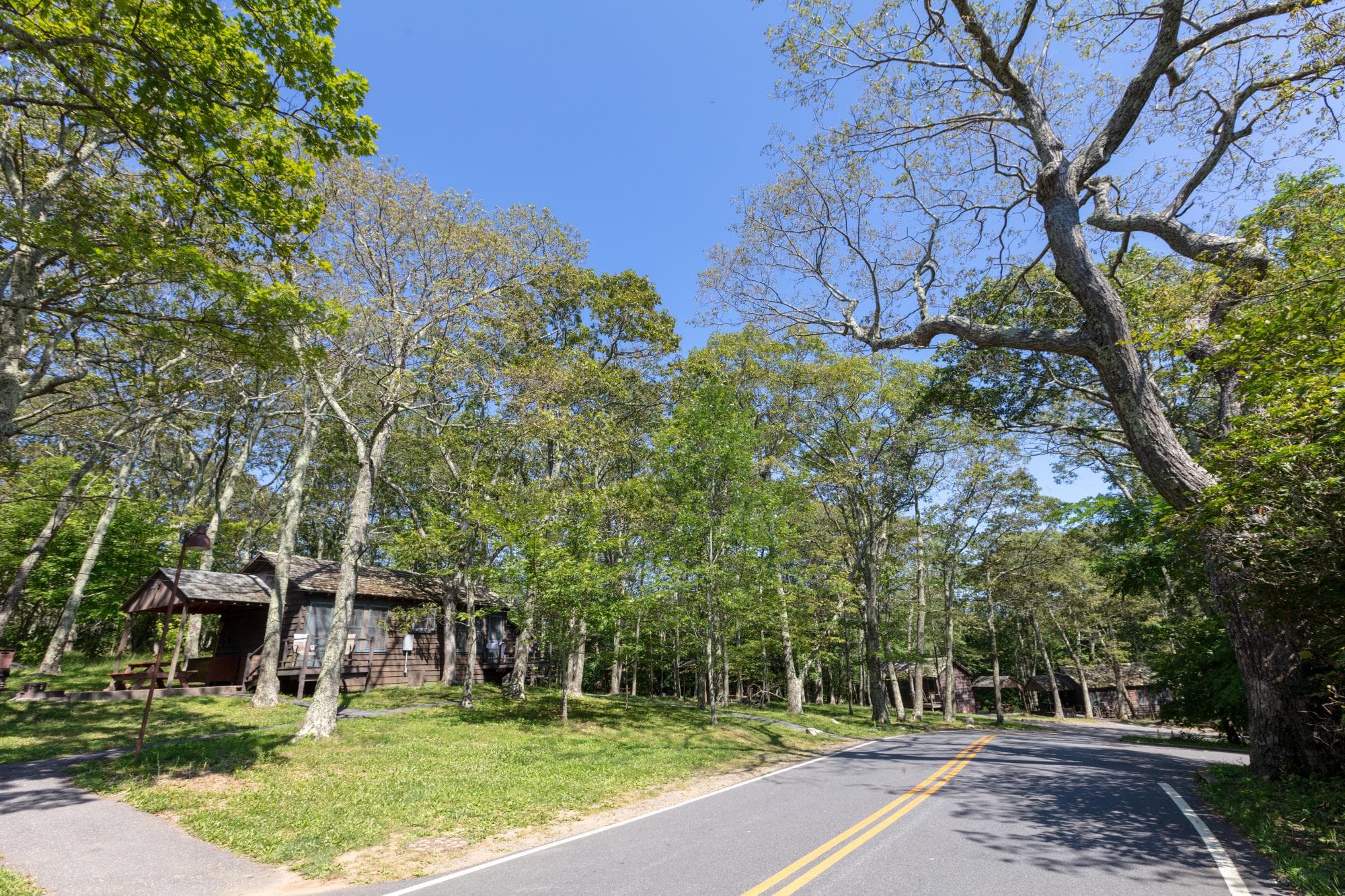
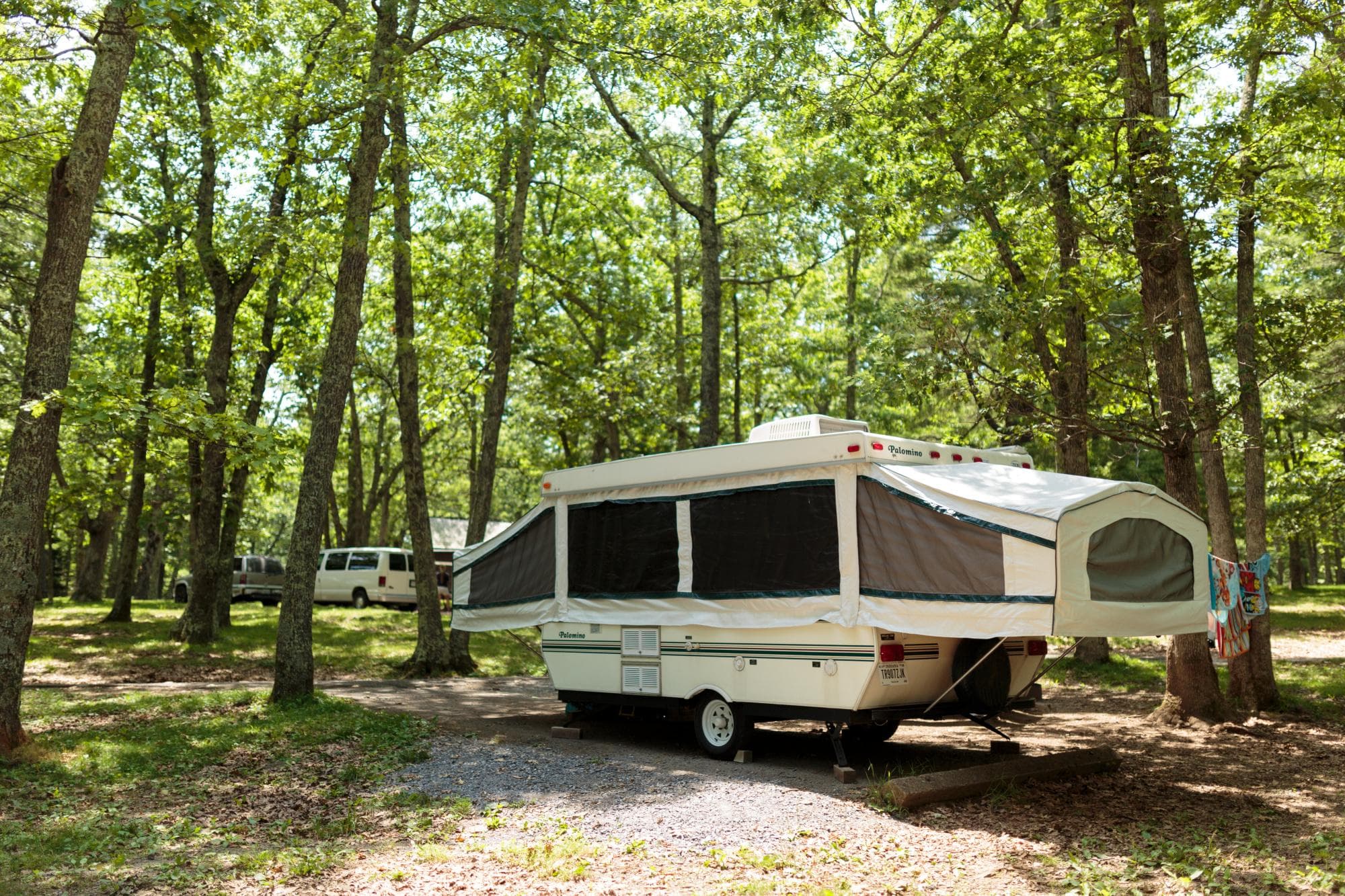
Lewis Mountain Campground
Campground
18.5 mi out & back · 4,550 ft gain · 3,550 ft high point
Via the South River Picnic Ground Trail, the South River Falls Trail, the Appalachian Trail, and Smith Roach Gap Fire Road (8.5 mi)
In Shenandoah National Park · VA · OpenStreetMap contributors
4,550 ft of gain round trip.
The closest places to sleep, measured from the trailhead.
Ranked the same way, within twenty-five miles.
What the trail reaches, measured from the start.
The hike from its start, the approach dashed. Drag with two fingers, or hold a key to zoom.
Trail data: USFS, NPS, © OpenStreetMap contributors (ODbL). Elevation: USGS 3DEP via Mapzen terrain tiles. Nearby reading: Wikipedia. Download the trail and feature data.
Campground · VA
5.5 mi out & back · Moderate
Shenandoah National Park · Camp under a mile away
Fri: Sunny · wind 14 to 20 mph N