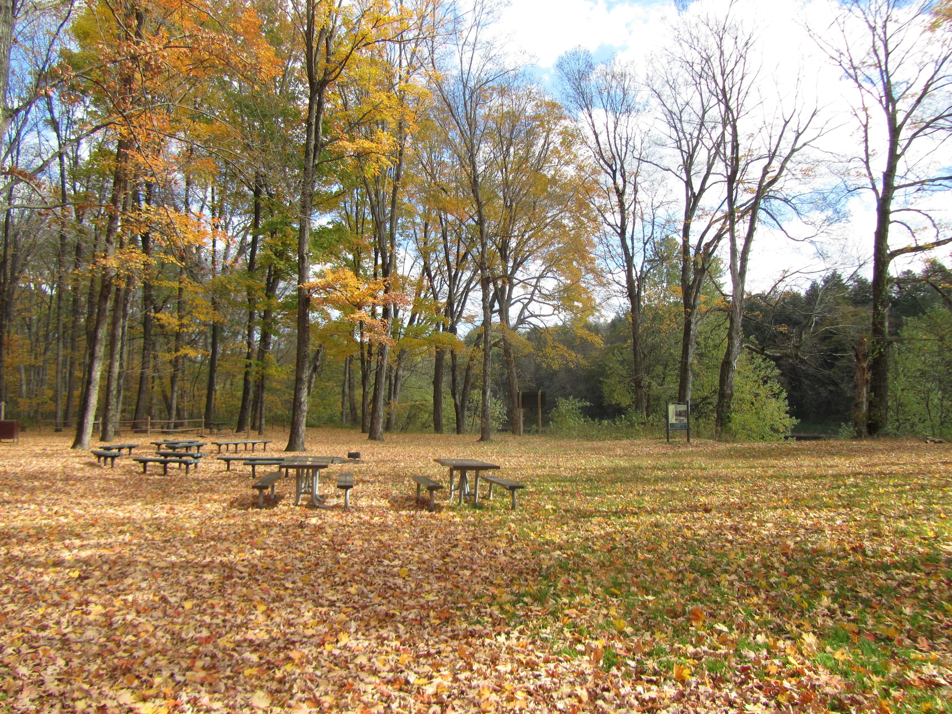
6.3 mi from the trailhead
River Camping
Campground
12.3 mi one way · 1,123 ft gain · 1,400 ft high point · Hard
From Thunder Swamp Trail
PA · OpenStreetMap contributors
Thunder Swamp Trail System runs 12.2 miles one way through Pennsylvania, passing near Lake Minisink and Saw Creek Pond while climbing 1,123 feet.
1,123 ft of gain and 1,014 ft of descent.
The closest places to sleep, measured from the trailhead.
Ranked the same way, within twenty-five miles.
What the trail reaches, measured from the start.
The route at the trailhead. Drag with two fingers, or hold a key to zoom.
Trail data: USFS, NPS, © OpenStreetMap contributors (ODbL). Elevation: USGS 3DEP via Mapzen terrain tiles. Nearby reading: Wikipedia. Download the trail and feature data.
Campground
2.6 mi out & back · 387 ft gain · Easy
Delaware Water Gap National Recreation Area · Camp 8 mi away
Hikes that read like this one, wherever they are.
80.4 mi one way · 13,361 ft gain · Very hard
PA
19.5 mi out & back · 4,409 ft gain · Very hard
PA
22.1 mi one way · 1,686 ft gain · Very hard
PA
9.3 mi out & back · 1,340 ft gain · Hard
PA
Thu: Light Rain · wind 5 to 10 mph S