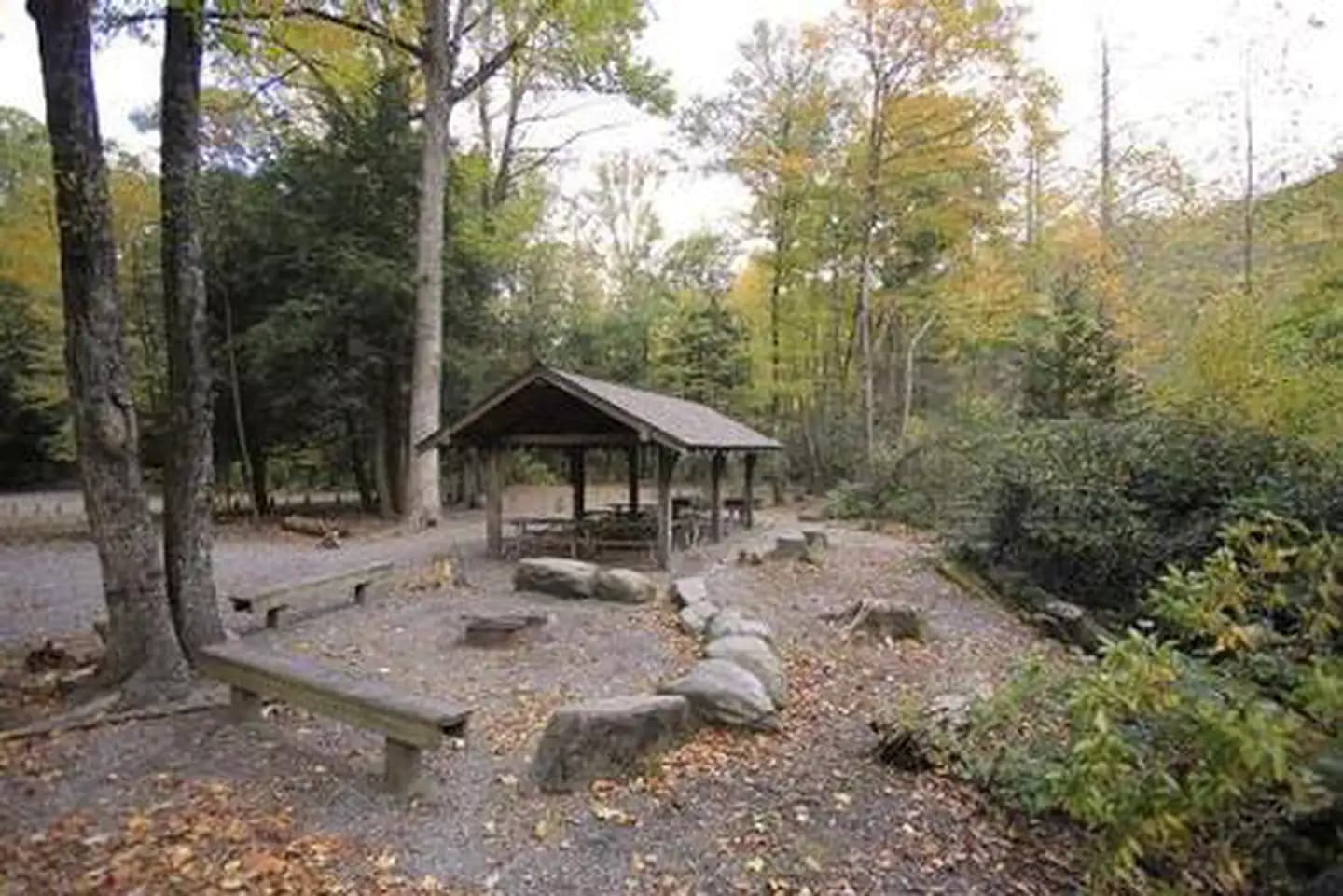
6.8 mi from the trailhead
Curtis Creek Campground (Nc)
Campground · NC
11.6 mi out & back · 3,889 ft gain · 4,003 ft high point
Via the The Gate Trail, the Rainbow Mountain Trail, Rainbow Road, Old Trestle Road, the Buck Gap Trail, the East Ridge Trail, and the Graybeard Trail (5.3 mi)
NC · OpenStreetMap contributors
3,889 ft of gain round trip.
The closest places to sleep, measured from the trailhead.
Ranked the same way, within twenty-five miles.
What the trail reaches, measured from the start.
The hike from its start, the approach dashed. Drag with two fingers, or hold a key to zoom.
Trail data: USFS, NPS, © OpenStreetMap contributors (ODbL). Elevation: USGS 3DEP via Mapzen terrain tiles. Nearby reading: Wikipedia. Download the trail and feature data.
Campground · NC
17.1 mi one way · 3,448 ft gain
Pisgah National Forest · Camp under a mile away
Sat: Sunny · wind 5 to 8 mph WNW