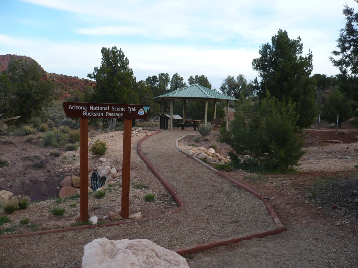
 0.0 mi from the trailhead
Stateline Campground
Campground · Utah
783.5 mi one way · 123,403 ft gain · 9,147 ft high point · Very hard
Arizona · OpenStreetMap contributors
The Arizona Trail runs one way for 783.5 miles across Arizona, climbing 123,403 feet to 9,147 feet and passing lakes, passes, and viewpoints.
123,403 ft of gain and 122,482 ft of descent.
The closest places to sleep, measured from the trailhead.
Ranked the same way, within twenty-five miles.
What the trail reaches, measured from the start.
The route at the trailhead. Drag with two fingers, or hold a key to zoom.
Trail data: USFS, NPS, © OpenStreetMap contributors (ODbL). Elevation: USGS 3DEP via Mapzen terrain tiles. Nearby reading: Wikipedia. Download the trail and feature data.
Campground · Utah
61.0 mi one way · 7,290 ft gain · Very hard
Utah · Camp under a mile away
Hikes that read like this one, wherever they are.
38.6 mi one way · 10,882 ft gain · Very hard
Grand Canyon National Park · Camp 3 mi away
40.5 mi one way · 12,573 ft gain · Very hard
Kaibab National Forest · Camp 9 mi away
192.0 mi one way · 12,102 ft gain · Very hard
Arizona
13.6 mi one way · 3,041 ft gain · Very hard
Arizona
Today: Sunny · wind 1 to 5 mph SSE
