 7.2 mi from the trailhead
Edward MacDowell Lake Day Use Facilities
Campground · NH
7.7 mi out & back · 1,118 ft gain · 1,492 ft high point · Hard
From Dublin Trailhead via Monadnock-Sunapee Greenway (3.8 mi)
NH · OpenStreetMap contributors
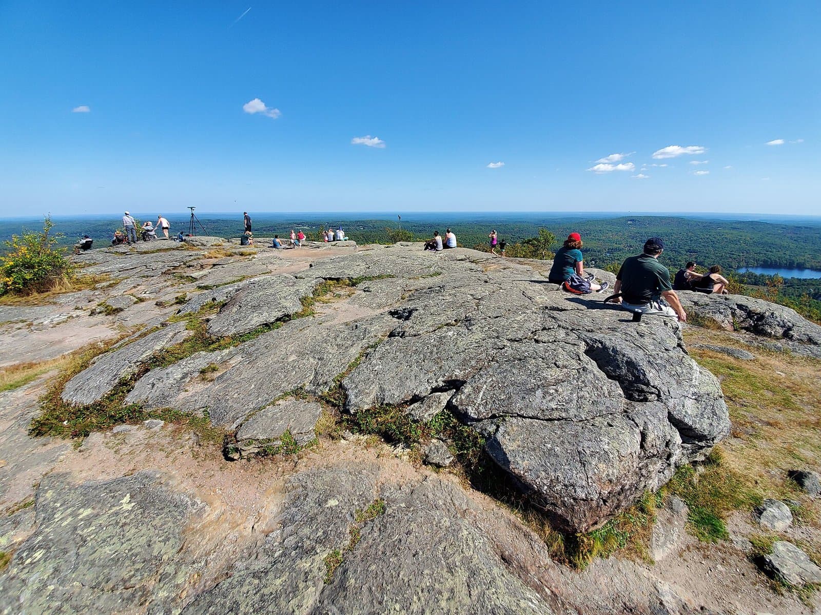
The Spiltoir Shelter Trail is a 7.7-mile out and back route from Dublin Trailhead via the Monadnock-Sunapee Greenway, climbing 1,118 feet to Howe Reservoir.
1,118 ft of gain round trip.
The closest places to sleep, measured from the trailhead.
Ranked the same way, within twenty-five miles.
What the trail reaches, measured from the start.
The hike from its start, the approach dashed. Drag with two fingers, or hold a key to zoom.
Trail data: USFS, NPS, © OpenStreetMap contributors (ODbL). Elevation: USGS 3DEP via Mapzen terrain tiles. Nearby reading: Wikipedia. Download the trail and feature data.
Campground · NH
3.9 mi out & back · 1,172 ft gain · Moderate
NH
Hikes that read like this one, wherever they are.

7.7 mi out & back · 3,426 ft gain · Very hard
NH · Camp 8 mi away

11.7 mi loop · 3,175 ft gain · Very hard
NH
4.8 mi out & back · 1,729 ft gain · Moderate
NH · Camp 5 mi away
4.0 mi out & back · 1,482 ft gain · Moderate
NH · Camp 8 mi away
Today: Mostly Cloudy then Chance Snow Showers · wind 5 to 10 mph NW