 6.9 mi from the trailhead
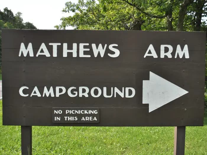
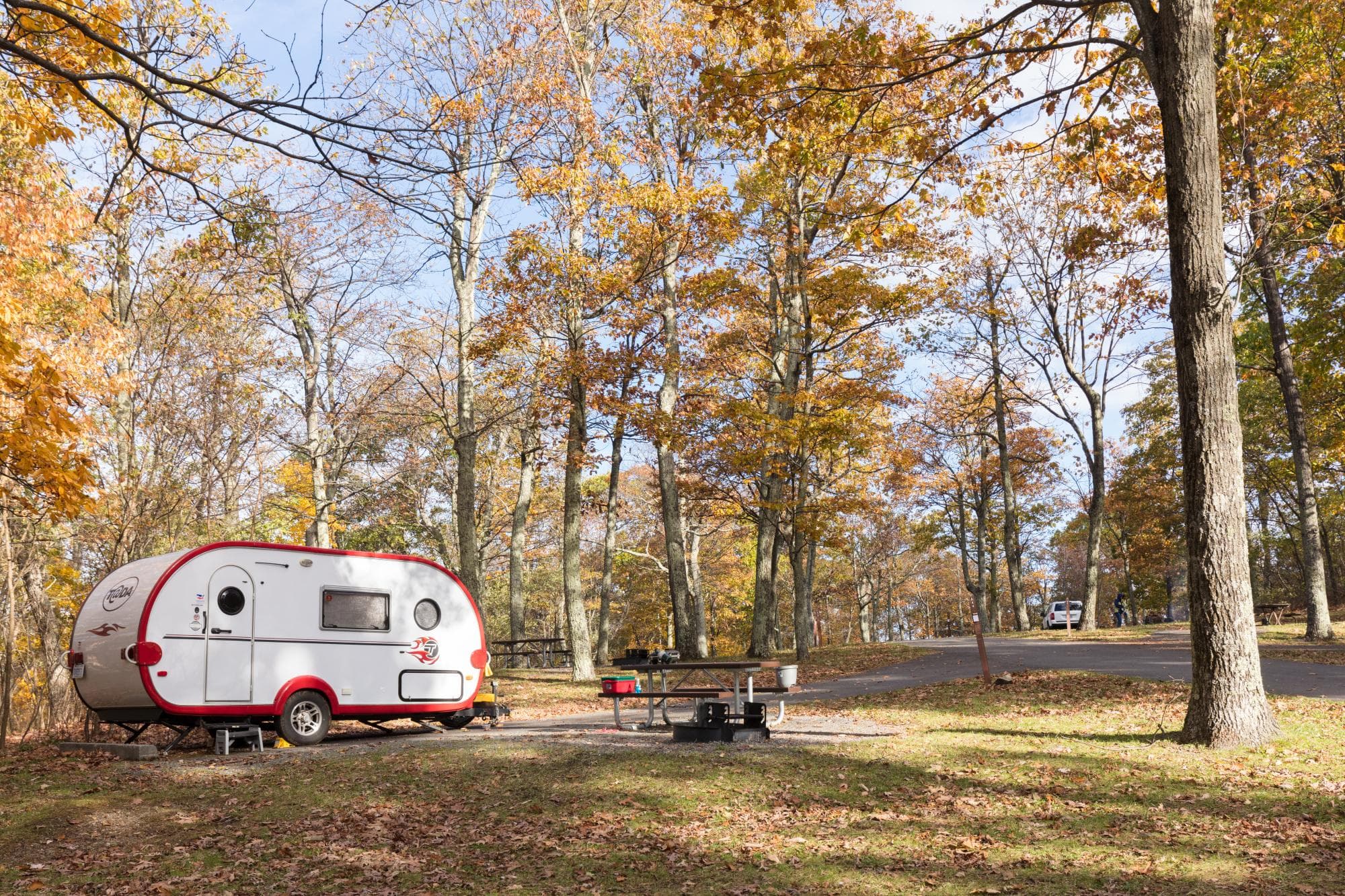
Mathews Arm Campground
Campground · VA
11.1 mi out & back · 2,671 ft gain · 2,889 ft high point · Very hard
From Jenkins Gap Parking via the Jenkins Gap Trail, the Tuscalachian Loop, the Dickey Ridge Trail, and the Dickey Ridge Horse Trail (3.6 mi)
In Shenandoah National Park · VA · OpenStreetMap contributors
Lands Run Gap Road is an 11.1-mile out and back route from Jenkins Gap Parking in Shenandoah National Park, passing through Lands Run Gap, Compton Gap, and Compton Peak.
2,671 ft of gain round trip.
The closest places to sleep, measured from the trailhead.
Ranked the same way, within twenty-five miles.
What the trail reaches, measured from the start.
The hike from its start, the approach dashed. Drag with two fingers, or hold a key to zoom.
Trail data: USFS, NPS, © OpenStreetMap contributors (ODbL). Elevation: USGS 3DEP via Mapzen terrain tiles. Nearby reading: Wikipedia. Download the trail and feature data.
Campground · VA
5.5 mi out & back · 1,748 ft gain · Hard
Shenandoah National Park · Camp 5 mi away
Hikes that read like this one, wherever they are.
7.2 mi out & back · 1,781 ft gain · Hard
Shenandoah National Park · Camp 7 mi away
6.2 mi out & back · 887 ft gain · Moderate
Shenandoah National Park · Camp 7 mi away
9.6 mi out & back · 2,474 ft gain · Hard
Shenandoah National Park · Camp 7 mi away
6.6 mi out & back · 1,214 ft gain · Moderate
Shenandoah National Park · Camp 7 mi away
Today: Mostly Sunny · wind 13 to 22 mph NW