 6.5 mi from the trailhead
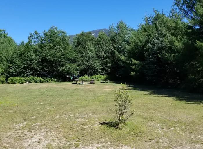
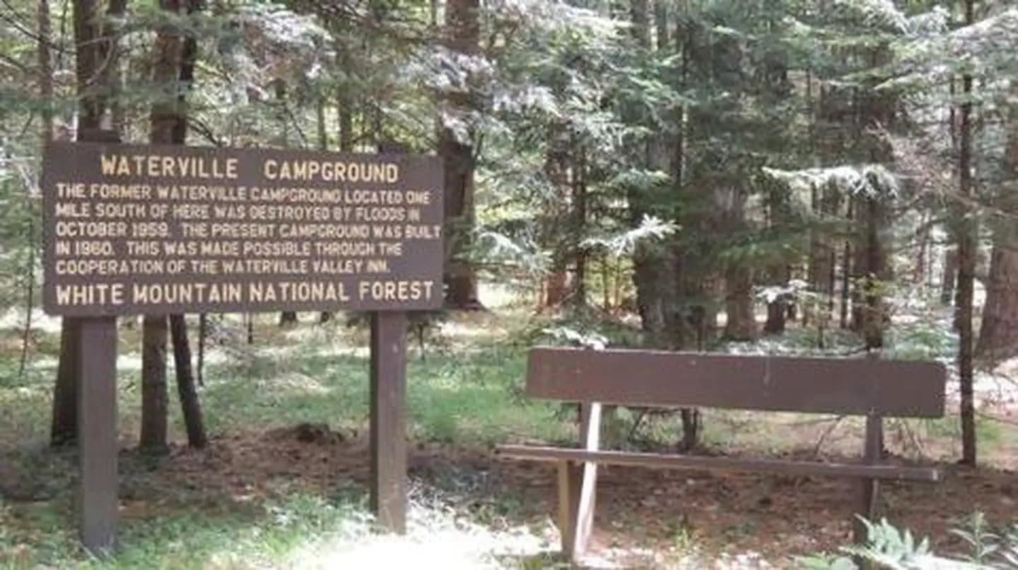
Waterville Campground
Campground · NH
15.3 mi out & back · 5,296 ft gain · 4,005 ft high point · Very hard
Via the Mccrillis Trail and the Blueberry Ledge Trail (4.6 mi)
NH · U.S. Forest Service
Kate Sleeper Trail ascends to South Tripyramid in Sandwich Range Wilderness, passing West and East Sleeper peaks. The very difficult route climbs 1,103 feet over three miles one way.
5,296 ft of gain round trip.
The closest places to sleep, measured from the trailhead.
Ranked the same way, within twenty-five miles.
What the trail reaches, measured from the start.
The hike from its start, the approach dashed. Drag with two fingers, or hold a key to zoom.
Trail data: USFS, NPS, © OpenStreetMap contributors (ODbL). Elevation: USGS 3DEP via Mapzen terrain tiles. Nearby reading: Wikipedia. Download the trail and feature data.
Campground · NH
10.4 mi out & back · 3,758 ft gain · Very hard
White Mountain National Forest · Camp 3 mi away
No carrier reports signal at this spot.
Today: Sunny · wind 5 mph NE
Hikes that read like this one, wherever they are.
8.2 mi out & back · 3,136 ft gain · Moderate
White Mountain National Forest · Camp 2 mi away
13.7 mi out & back · 3,052 ft gain · Very hard
White Mountain National Forest · Camp under a mile away

19.3 mi out & back · 6,190 ft gain · Very hard
White Mountain National Forest · Camp 3 mi away

17.6 mi loop · 5,556 ft gain · Very hard
White Mountain National Forest · Camp 3 mi away