9.6 mi from the trailhead
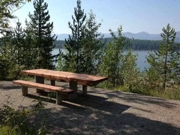
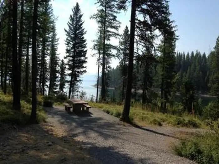
Emery Bay Campground
Campground · Montana
2.1 mi one way · 2,087 ft climb · 5,510 ft high point · Very hard
In Flathead National Forest · Montana · U.S. Forest Service
Rescue Creek in Flathead National Forest is a very difficult 2.1-mile route with 2,087 feet of climbing.
2,087 ft of gain and 187 ft of descent.
The closest places to sleep, measured from the trailhead.
Ranked the same way, within twenty-five miles.
The route at the trailhead. Drag with two fingers, or hold a key to zoom.
Trail data: USFS, NPS, © OpenStreetMap contributors (ODbL). Elevation: USGS 3DEP via Mapzen terrain tiles. Nearby reading: Wikipedia. Download the trail and feature data.
Campground · Montana
2.9 mi one way · 2,166 ft climb · Very hard
Great Bear Wilderness · Camp 7 mi away
Hikes that read like this one, wherever they are.
2.2 mi one way · 930 ft climb · Very hard
Flathead National Forest · Camp 10 mi away
2.9 mi one way · 901 ft climb · Very hard
Flathead National Forest · Camp 6 mi away
5.2 mi one way · 2,070 ft climb · Very hard
Flathead National Forest · Camp 4 mi away
1.7 mi one way · 1,154 ft climb · Very hard
Flathead National Forest · Camp 9 mi away
Today: Sunny · wind 3 mph SW
No carrier reports signal at this spot.