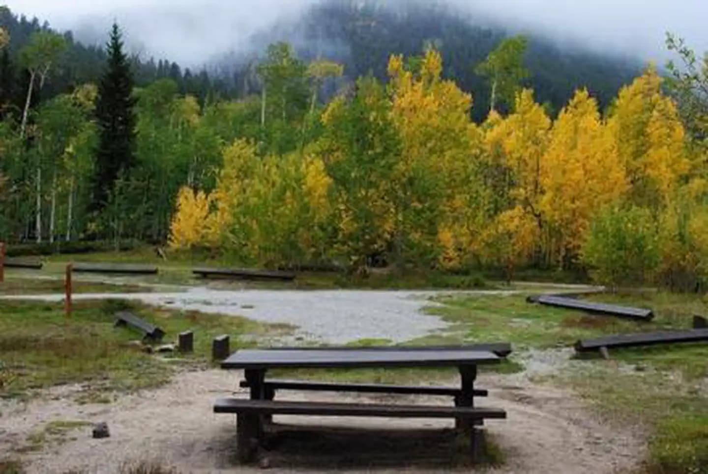
 5.4 mi from the trailhead
Collegiate Peaks
Campground · Colorado
18.5 mi one way · 5,684 ft gain · 11,906 ft high point · Very hard
In San Isabel National Forest · Colorado · OpenStreetMap contributors
Colorado Trail Segment 13 runs 18.5 miles one way from North Cottonwood Creek Road to Chalk Creek Trailhead through San Isabel National Forest, passing Rainbow Lake.
5,684 ft of gain and 4,208 ft of descent.
The closest places to sleep, measured from the trailhead.
Ranked the same way, within twenty-five miles.
What the trail reaches, measured from the start.
The route at the trailhead. Drag with two fingers, or hold a key to zoom.
Trail data: USFS, NPS, © OpenStreetMap contributors (ODbL). Elevation: USGS 3DEP via Mapzen terrain tiles. Nearby reading: Wikipedia. Download the trail and feature data.
Campground
4.6 mi out & back · 1,960 ft gain · Very hard
Colorado · Camp 4 mi away
Hikes that read like this one, wherever they are.
19.2 mi one way · 4,352 ft gain · Very hard
San Isabel National Forest · Camp 5 mi away
20.2 mi one way · 4,165 ft gain · Very hard
San Isabel National Forest · Camp under a mile away

23.5 mi out & back · 3,392 ft gain · Very hard
San Isabel National Forest · Camp under a mile away
71.9 mi one way · 16,180 ft gain · Very hard
San Isabel National Forest · Camp 4 mi away
Sun: Snow Showers then Rain And Snow Showers Likely · wind 5 to 10 mph S


