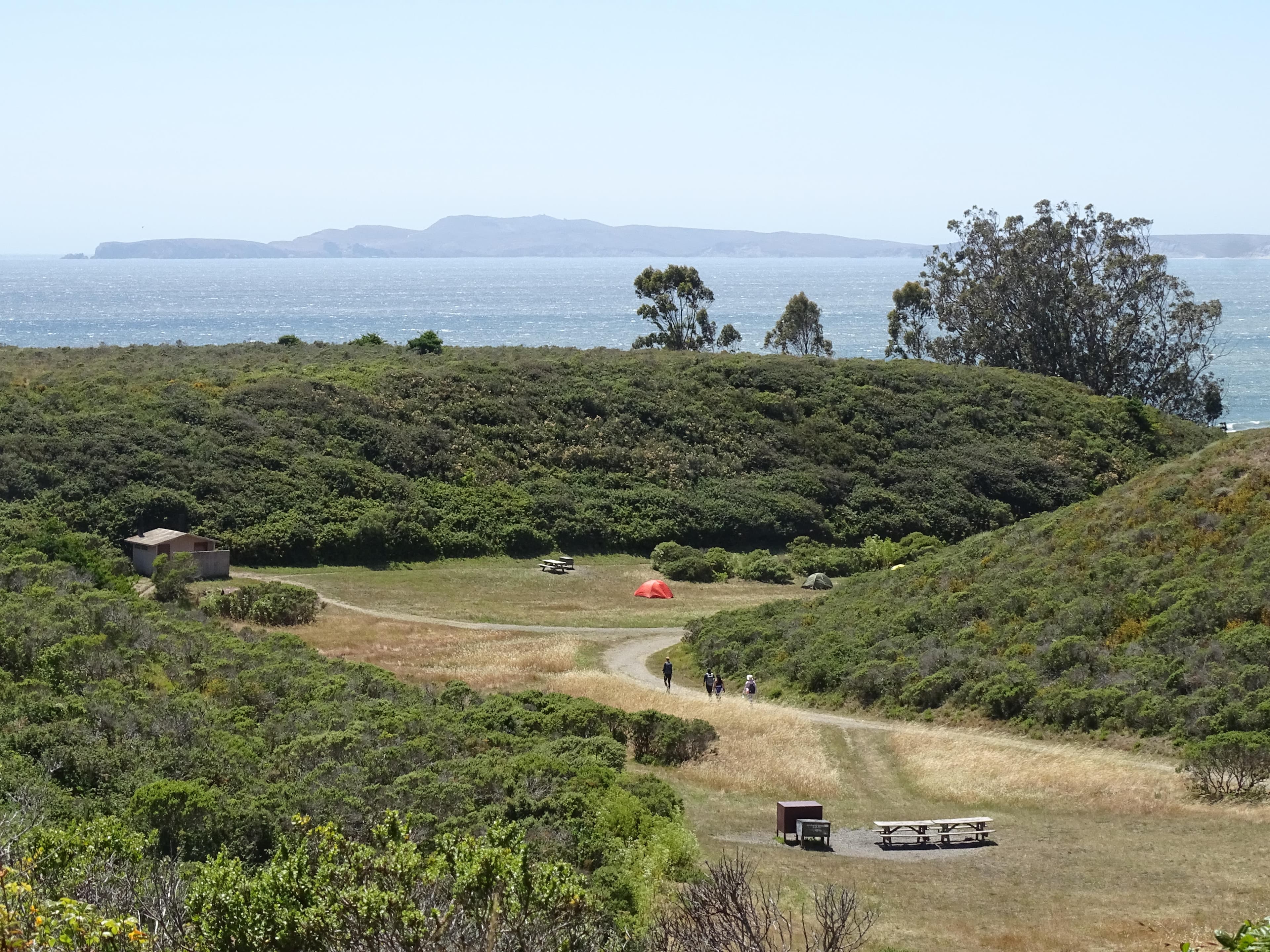
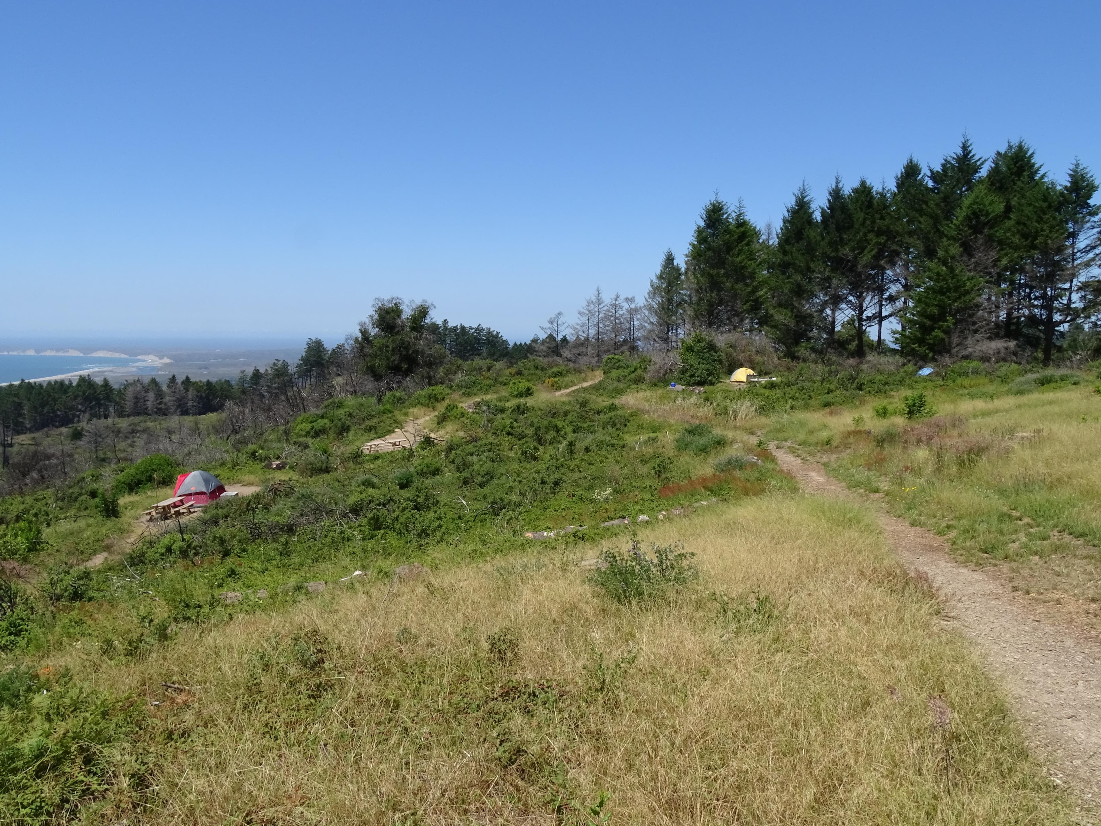
 1.8 mi from the trailhead
Sky Campground
Campground · California
4.8 mi loop · 1,110 ft gain · 1,052 ft high point · Moderate
From Bayview Trailhead, a loop with the Bayview Trail and the Inverness Ridge Trail
In Point Reyes National Seashore · California · National Park Service
This loop at Point Reyes National Seashore uses the Inverness Ridge and Bayview Trails for 4.8 miles with 1,130 feet of climbing.
1,110 ft of gain around the loop.
The route at the trailhead. Drag with two fingers, or hold a key to zoom.
Trail data: USFS, NPS, © OpenStreetMap contributors (ODbL). Elevation: USGS 3DEP via Mapzen terrain tiles. Nearby reading: Wikipedia. Download the trail and feature data.
The closest places to sleep, measured from the trailhead.
Ranked the same way, within twenty-five miles.
 12 mi from you
43.8 mi one way · 7,397 ft gain · Very hard
Point Reyes National Seashore · Camp 2 mi away
7.1 mi loop · 1,373 ft gain · Hard
Point Reyes National Seashore · Camp 2 mi away
6.9 mi loop · 1,134 ft gain · Moderate
Point Reyes National Seashore · Camp 2 mi away
 17 mi from you
4.5 mi out & back · 730 ft gain · Moderate
Golden Gate National Recreation Area · Camp 4 mi away
 3 mi from you
4.9 mi loop · 1,207 ft gain · Moderate
Point Reyes National Seashore · Camp under a mile away
 17 mi from you
6.8 mi out & back · 1,896 ft gain · Hard
Golden Gate National Recreation Area · Camp 4 mi away
Tue: Sunny · wind 2 to 6 mph NW
Hikes that read like this one, wherever they are.
6.4 mi out & back · 1,378 ft gain · Hard
Point Reyes National Seashore · Camp 4 mi away

8.9 mi out & back · 1,509 ft gain · Hard
Point Reyes National Seashore · Camp 4 mi away
9.8 mi loop · 1,289 ft gain · Hard
Point Reyes National Seashore · Camp under a mile away
9.4 mi out & back · 1,157 ft gain · Hard
Point Reyes National Seashore · Camp under a mile away