 0.0 mi from the trailhead
Wahtum Lake Campground
Campground · Oregon
14.5 mi loop · 2,992 ft gain · 4,287 ft high point · Very hard
From Wahtum Lake Trailhead, a loop with Wahtum Express, PCT - Oregon Section G, Eagle Creek, the Chinidere Cutoff, and Pct: MT Hood
In Mt. Hood National Forest · Oregon · U.S. Forest Service
This loop ascends 3,001 feet through Mt. Hood National Forest, starting at Wahtum Lake Trailhead. It passes along Wahtum Lake and viewpoints while circling near Chinidere Mountain and Scout Lake.
2,992 ft of gain, the approach both ways included.
The closest places to sleep, measured from the trailhead.
Ranked the same way, within twenty-five miles.
What the trail reaches, measured from the start.
The hike from its start, the approach dashed. Drag with two fingers, or hold a key to zoom.
Trail data: USFS, NPS, © OpenStreetMap contributors (ODbL). Elevation: USGS 3DEP via Mapzen terrain tiles. Nearby reading: Wikipedia. Download the trail and feature data.
Campground · Oregon
5.6 mi out & back · 2,636 ft gain · Very hard
Mt. Hood National Forest · Camp under a mile away
Hikes that read like this one, wherever they are.

11.6 mi loop · 3,039 ft gain · Very hard
Mt. Hood National Forest · Camp 2 mi away
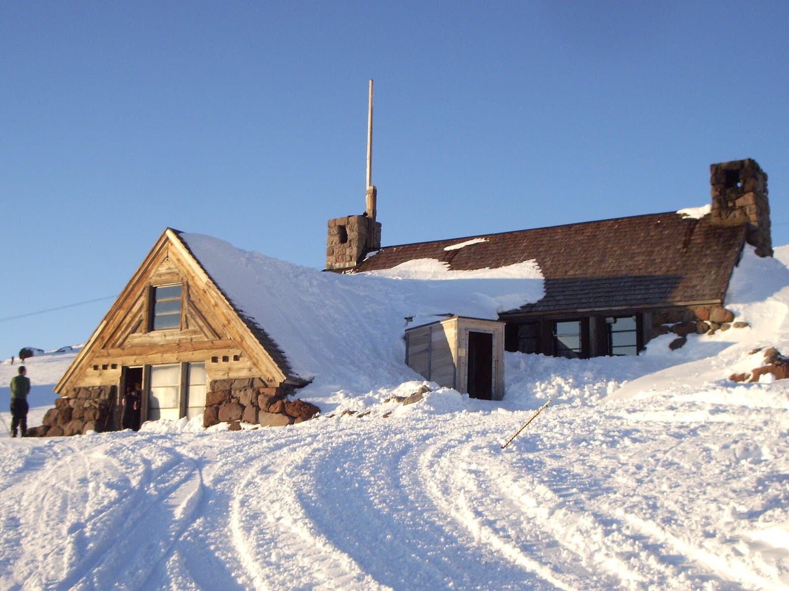
2.7 mi loop · 1,097 ft gain · Moderate
Mt. Hood National Forest · Camp 2 mi away
11.8 mi out & back · 3,173 ft gain · Very hard
Mt. Hood National Forest · Camp 4 mi away

13.4 mi out & back · 5,278 ft gain · Very hard
Mt. Hood National Forest · Camp under a mile away
Mon: Chance Snow Showers · wind 1 to 5 mph SW


