Nearby Campgrounds
§ 02 — OVERVIEW
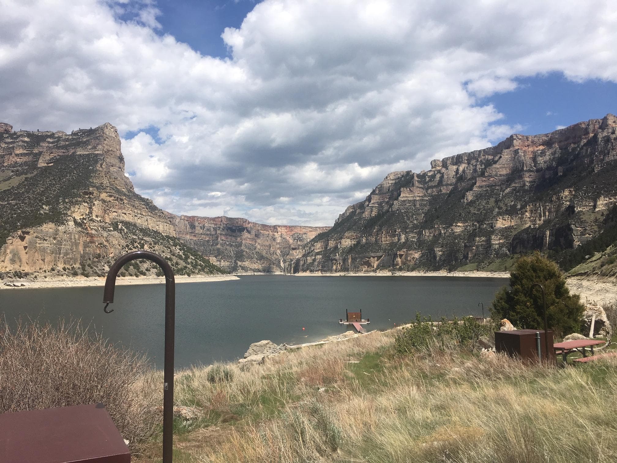
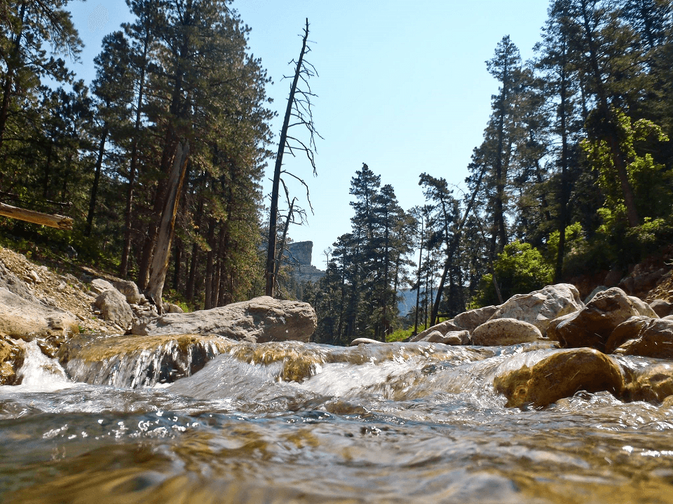
This highly scenic trail is suitable for hiking and horseback riding (advanced riders). Cottonwood Canyon has steep, vertical cliffs. The elevation at the mouth of the canyon is 4,800 feet with the top of the canyon wall at 7,200 feet.
At the upper end of the trail, the elevation at the creek is 7,000 feet and the top of the canyon wall is 7,900 feet. The trail is about 4 1/2 miles long and winds through BLM-managed public land, Bighorn National Forest land and State of Wyoming land. The trail accesses the Bighorn National Forest where one can continue hiking or horseback riding on primitive roads and trails. Vegetation in Cottonwood Canyon include narrowleaf cottonwood, willow, waterbirch, red osier dogwood, big sagebrush, juniper, mountain mahogany, Rocky Mountain maple, Indian ricegrass, ninebark, limber pine, Douglas-fir, aspen, and bluebunch wheatgrass. Things to note: Bring drinking water as Cottonwood Creek disappears underground at times. If using water from the creek, filter it or otherwise treat before drinking.
§ 03 — TRAILS NEARBY
§ 04 — CONDITIONS
National Weather Service · seven-day outlook · updated hourly
§ 05 — SIGNAL
FCC broadband data · actual signal varies in remote terrain
§ 06—09 — FROM THE FIELD
Community Intel from visitors, written reviews, dated trip reports, and reader-submitted photographs.
§ 07 — REVIEWS
§ 08 — TRIP REPORTS
§ 09 — COMMUNITY PHOTOS
Sign the ledger to file a review.
Trip Reports
0 reports
§ 01 — VITALS
Sign in to add your own photos.
No community photos yet — be the first to share one from your visit.
AT&T
T-Mobile
Verizon
Based on FCC availability data. Actual signal may vary in remote terrain.
Tod
88°F
Areas Of Smoke
10 mph WSW
Wed
88°F
Areas Of Smoke
7 to 17 mph SW
Thu
87°F
Sunny then Slight Chance Showers And Thunderstorms
5 to 13 mph WSW
Fri
88°F
Sunny
9 to 14 mph WSW
Sat
93°F
Sunny
7 to 14 mph S
Sun
92°F
Sunny
12 mph SSW
Mon
79°F
Sunny
16 to 22 mph N