 45.3 mi away
COY FLAT
Campground · California
California
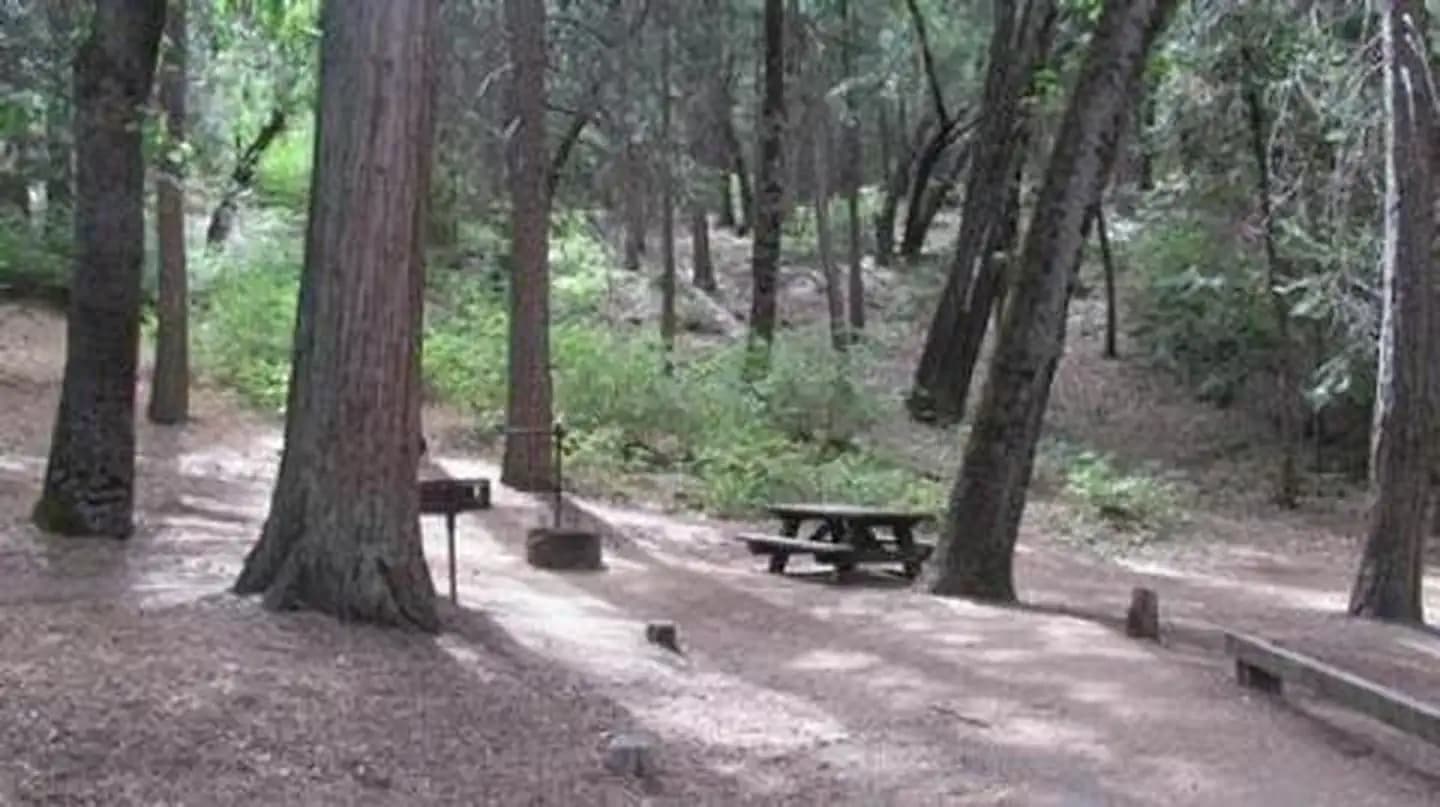
This is a consessionaire managed day use area. Managed by California Land Management, it is located approximately 20 miles northeast of Bakersfield along State Highway 178 adjacent to the lower Kern River. It has a paved road, picnic tables, toilets, and dumpsters. There is no potable water available. The elevation is 1,400 ft. It is open May to September.
Visitor center · California
Road, crowds, signal, and whether they'd go back — from people who camped here.
Been here? Tell the next visitor what the road, the crowds, and the signal were like.
No carrier reports signal at this spot.
From people who camped here.
Sign in to add photos from your visit.
The first one from your trip goes here.
No reviews yet. Been here? Yours would be the first.
Sign in to write a review.
Today: Sunny · wind 5 to 10 mph W