 36.1 mi away
North Campground
Campground · Utah
Utah
Te-Ah Campground is located 28 miles east of Cedar City, Utah, in scenic Navajo Lake Basin. Touring bicycle groups commonly use Te-Ah as a stopover on their way through this beautiful corner of Utah. Fishing and canoeing on Navajo Lake are popular activities.
Navajo Lake offers great canoeing, kayaking and fishing. Hiking and biking are popular activities as well. The Cascade Falls Trailhead is located in the campground. This beautiful trail has abundant wildlife and vegetation. The 34-mile Virgin River Rim Trail passes near the campground and is open to hiking, mountain biking and horseback riding.
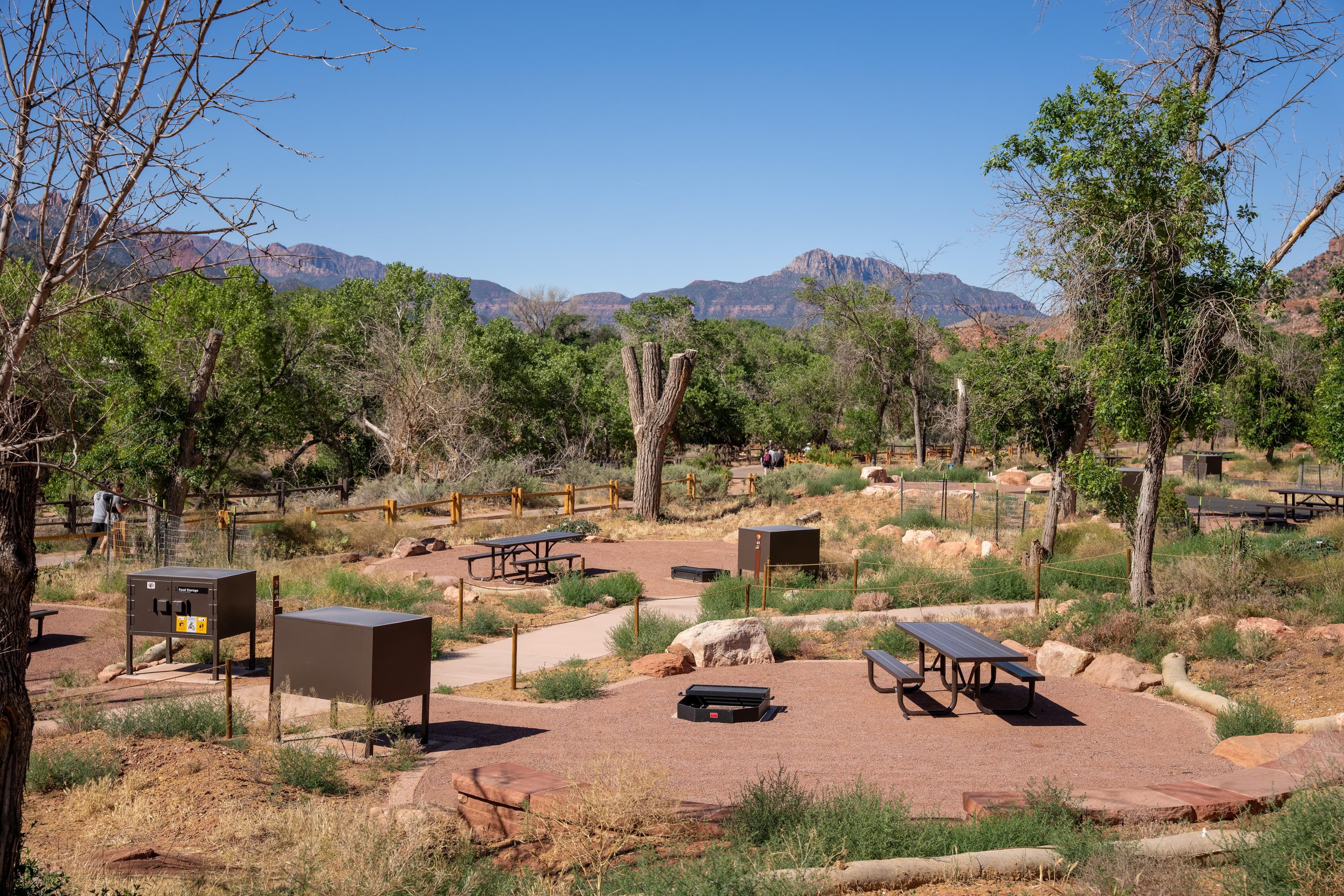
Te-Ah offers 41 single sites with picnic tables and campfire rings. One group site (#33) is available for up to a group size of 20 people. The site provides tables, bicycle wash and parking racks and a workspace for self-contained kitchens. Flush and vault toilets are provided and drinking water is piped from a spring. A newly paved road skirts the shoreline of Navajo Lake and leads to Te-ah on the lake's western edge, allowing good access for cars, trailers and bicycles. OHV/ATV's including street legal are not allowed in the campground. Please trailer them in and out of the campground.
The campground is situated on the edge of a meadow high on the Colorado Plateau at an elevation of 9,200 feet. An aspen forest covers the campground. Navajo Lake can be viewed in the distance from several sites.
Boat rentals, a boat ramp, lodging and supplies are available at nearby Navajo Lake Lodge. Also Duck Creek Pond is eight miles east great for fishing with the kids as well as the Duck Creek Visitor Center. Cascade Falls, Ice Cave and Mammoth Cave are also near-by favorites! Cedar Breaks National Monument is a short 20 minute drive, with hiking trails, guided tours and breathtaking scenery. Just outside Cedar Breaks is the Ashdown Gorge Wilderness Area, where hikers will find 10 miles of trails and the Twisted Forest, a stand of ancient bristlecone pine.
Campground · Utah

Road, crowds, signal, and whether they'd go back — from people who camped here.
Been here? Tell the next visitor what the road, the crowds, and the signal were like.
No reviews yet. Been here? Yours would be the first.
Sign in to write a review.
From people who camped here.
Sign in to add photos from your visit.
The first one from your trip goes here.
No carrier reports signal at this spot.
Today: Chance Showers And Thunderstorms · wind 8 to 12 mph S