49.9 mi away
Enoree OHV Trail
Permit & pass
NC,SC,TN,VA
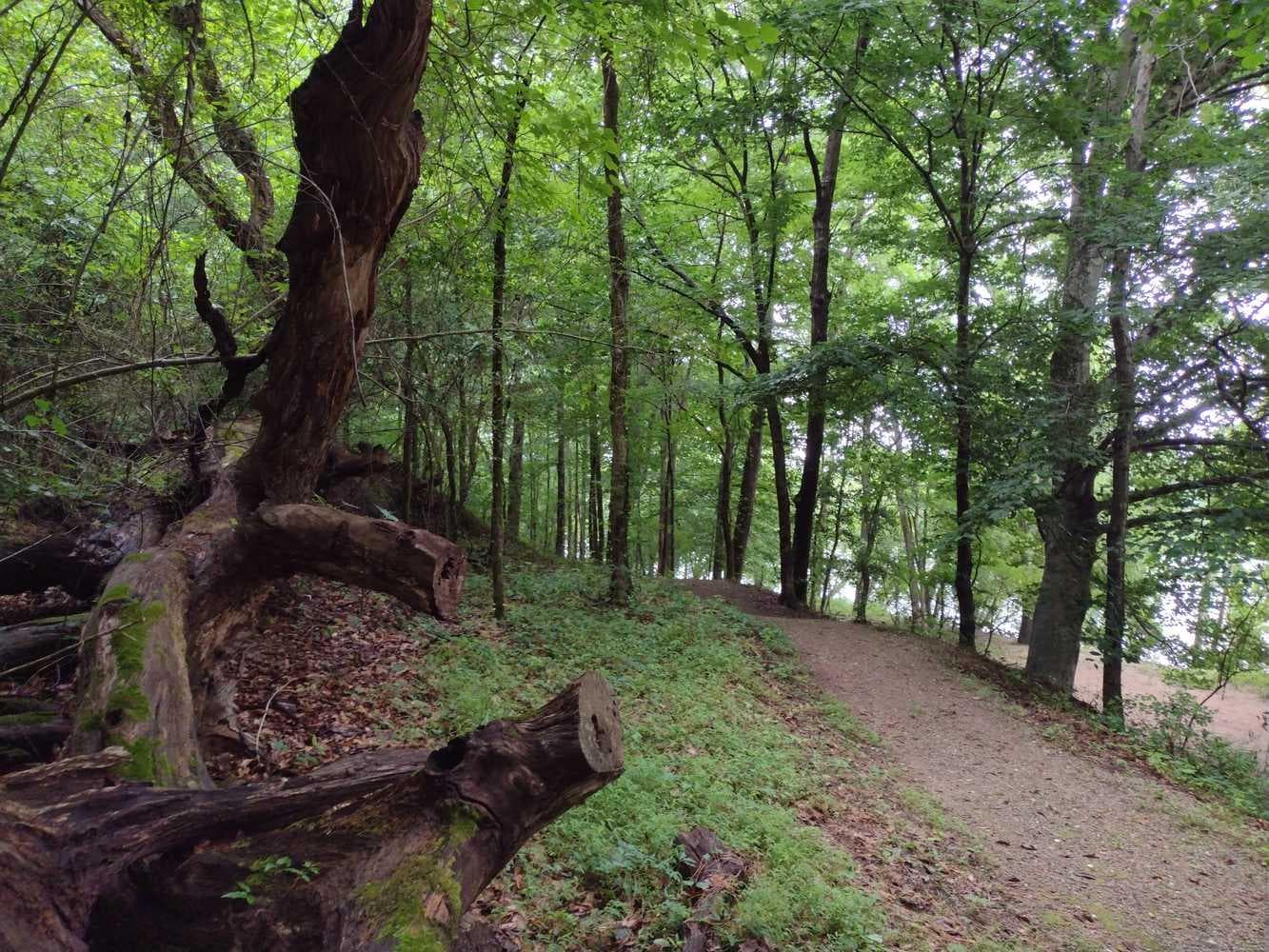
Stretching 330-miles through four states (Virginia, Tennessee, North and South Carolina) the Overmountain Victory National Historic Trail traces the route used by Patriot militia during the pivotal Kings Mountain campaign of 1780. Follow their campaign by utilizing a Commemorative Motor Route along existing state highways marked with the distinctive trail logo, or 80+ miles of walkable trail.
The trail travels over 330 miles through four states.
Temperatures for the area range from very hot and humid in the summer to cool and moderate in the winter.
Historic site
Sat: Sunny · wind 3 mph NNW
No reviews yet. Been here? Yours would be the first.
Sign in to write a review.
From people who camped here.
Sign in to add photos from your visit.
The first one from your trip goes here.
0.1 mi away · 0.5 mi loop · 53 ft gain · Kings Mountain National Military Park
0.3 mi away · 1.4 mi loop · 227 ft gain · Kings Mountain National Military Park
0.6 mi away · 22.9 mi out & back · 3,949 ft gain · Kings Mountain National Military Park
Road, crowds, signal, and whether they'd go back — from people who camped here.
Been here? Tell the next visitor what the road, the crowds, and the signal were like.