28.5 mi away
Ottawa National Forest Christmas Tree Permit
Permit & pass
MI
The Wild and Scenic Sturgeon River rushes out of the northern portion of this wilderness, over the 20 foot volcanic outcroppings of Sturgeon Falls, and through a gorge that reaches 350 feet in depth and a mile in width. Throughout this rugged, steep Wilderness, the Sturgeon and Little Silver Rivers and their tributaries have carved falls, rapids, ponds, oxbows, and terraces. Stunning views are possible from the eastern rim of the gorge. Except for a few naturally bare slopes, most of the land is forested with pine, hemlock, aspen, sugar maple, birch, and basswood. When the leaves of the hardwoods change color in the fall, they form a vivid tapestry. There are few established trails in Sturgeon River Gorge Wilderness, and the few overgrown logging roads are hard to find and follow. The North Country National Scenic Trail parallels the northern and eastern boundaries for about eight miles. Sturgeon River Campground offers seven sites on the southeastern boundary. In spring and during peak runoff, kayaking and white water canoeing are challenging, and only recommended for advanced paddlers. Sturgeon River Gorge Wilderness Map
16,725 acres, managed by USFS
No carrier reports signal at this spot.
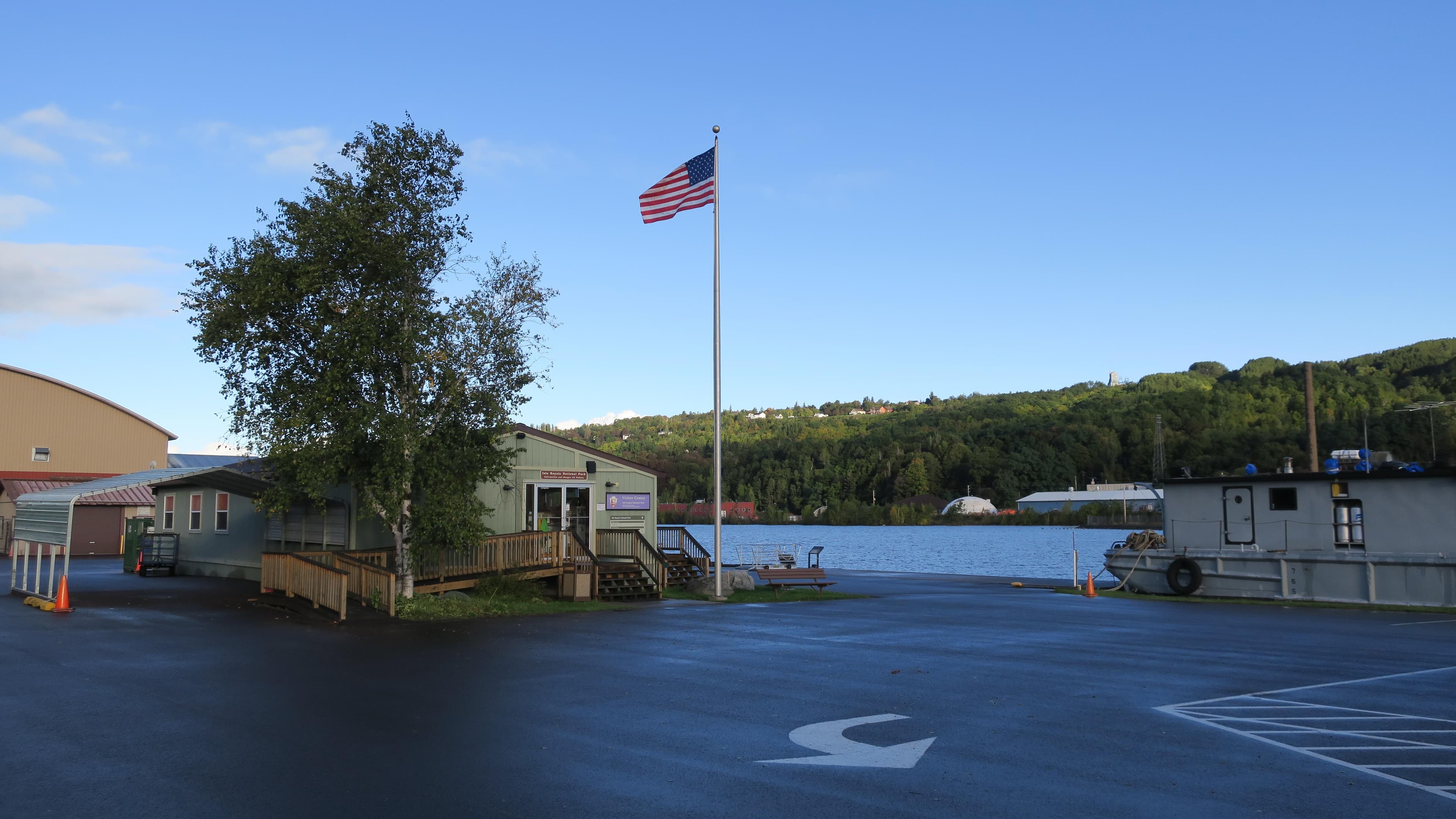
Visitor center
No booking details listed for this place.
From people who camped here.
Sign in to add photos from your visit.
The first one from your trip goes here.
Road, crowds, signal, and whether they'd go back — from people who camped here.
Been here? Tell the next visitor what the road, the crowds, and the signal were like.
No reviews yet. Been here? Yours would be the first.
Sign in to write a review.
Today: Mostly Cloudy then Slight Chance Rain Showers · wind 5 mph SE