 25.3 mi away
Sanford Yake Campground
Campground

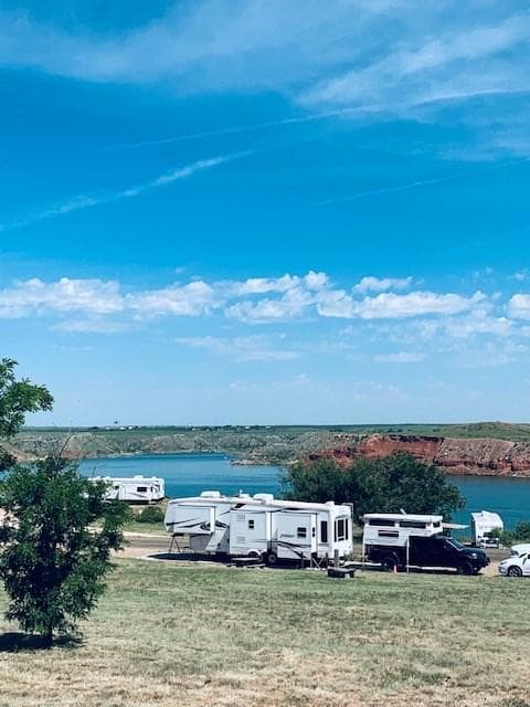
These areas are located south of the lake off of State Highway 136. There are large cottonwood trees that provide shade. The Mullinaw Creek area features the expanded Mullinaw Trails System. This trail system is open to hiking, biking, and horseback riding. NO OFF ROAD VEHICLES ALLOWED. No drinking water or flush toilets; vault-evaporator toilets only. Picnic tables, shade shelters, and grills. Horse corrals are located at Mullinaw Campground. The dirt roads can become impassable after rain.
Campground · TX
1.0 mi away · 4.5 mi out & back · 76 ft gain · Lake Meredith National Recreation Area
1.2 mi away · 1.1 mi loop · 21 ft gain · Lake Meredith National Recreation Area
1.5 mi away · 2.1 mi loop · 38 ft gain · Lake Meredith National Recreation Area
3.4 mi away · 6.5 mi out & back · 1,186 ft gain · Lake Meredith National Recreation Area
4.7 mi away · 0.2 mi loop · 48 ft gain · Lake Meredih National Recreation Area
No reviews yet. Been here? Yours would be the first.
Sign in to write a review.
No carrier reports signal at this spot.
Road, crowds, signal, and whether they'd go back — from people who camped here.
Been here? Tell the next visitor what the road, the crowds, and the signal were like.
From people who camped here.
Sign in to add photos from your visit.
The first one from your trip goes here.
Thu: Showers And Thunderstorms · wind 10 to 15 mph S

