§ 02 — OVERVIEW
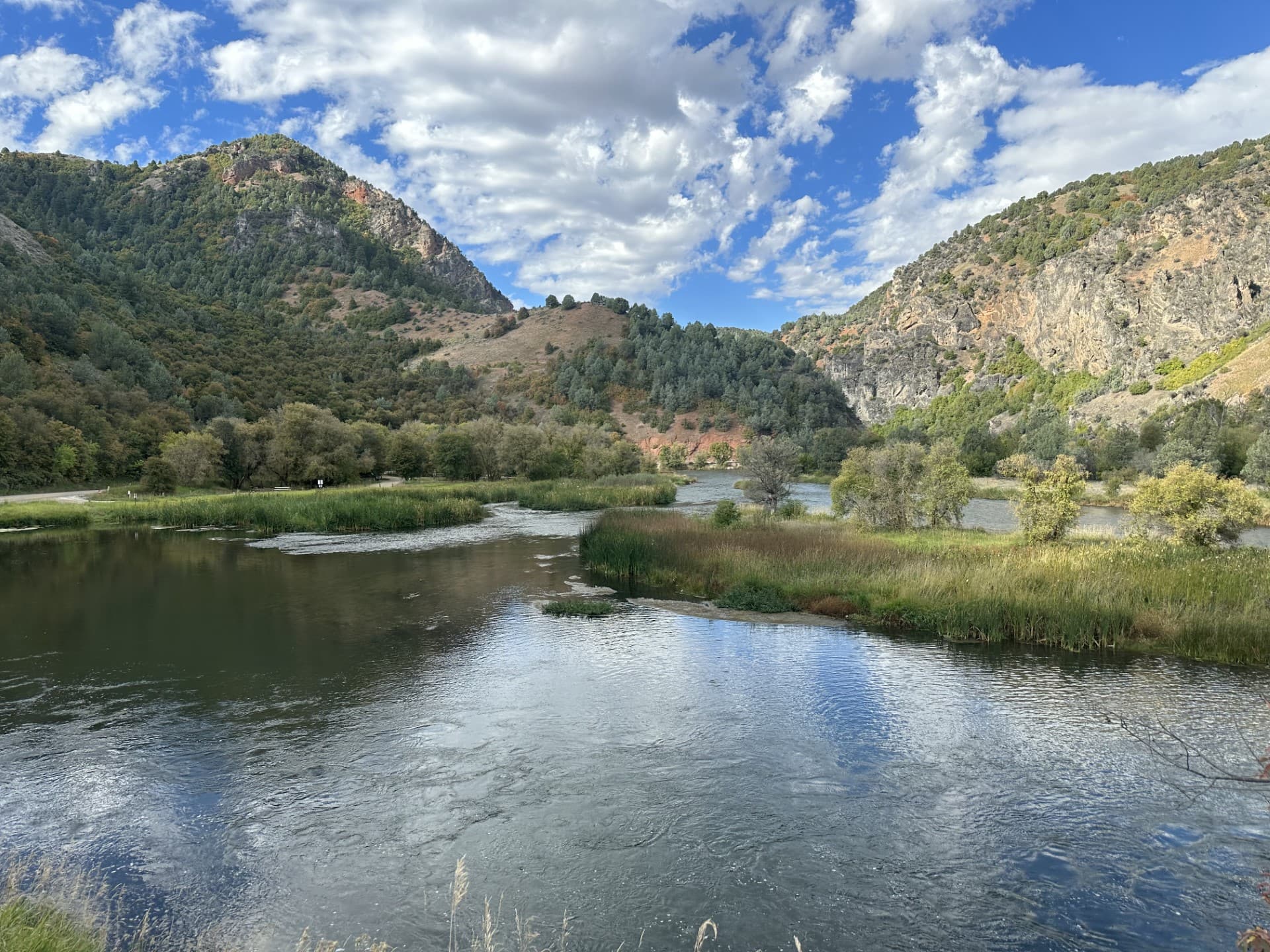
Malad Summit Campground is situated next to Mill Creek, just 14 miles north of Malad, Idaho, at an elevation of 6,100 feet.
Visitors enjoy hiking, horseback riding and off-road vehicle riding on the area's many trails.
Mill Creek offers cutthroat and rainbow trout fishing. Numerous trails begin nearby, including the 12-mile multi-use Summit Trail, which connects with Farmers Canyon, East Elkhorn and Wright Creek trails. Old Canyon and South Canyon trails begin a short distance from the campground.
The campground is open year-round and contains one large group site that can accommodate up to 125 people. It is equipped with large picnic tables, a serving table, a grill, a campfire ring with benches, tent pads and a gravel parking area. The campground has first-come, first-serve campsites and reservable campsites. Visitors can first check with the campground host for available campsites. If the campground host is not available, visitors must check if the campsite is occupied, and if available pay at the fee tube. Single-family campsites and one double site campsite are also available within the campground. Each campsite is equipped with a table, campfire ring, and grill. Vault toilets and drinking water are provided. Roads and parking spurs within the campground are gravel. Security is provided by the host and periodic patrols by the county sheriff. Malad Summit Campground is managed by Pinnacle Parks Llc under a special use permit with the Caribou-Targhee National Forest. For questions please contact 208-757-3999 between the hours of 8am and 9pm..
The campground is settled in a dense forest of maple trees, which offer plentiful shade. Stately Douglas fir trees dot the landscape. The campground receives snow throughout the winter. Contact Info For facility specific information, please call (208) 757-3999.
RV Information
Up to 125 ft
Maximum RV Length
Trailers up to 125 ft
6 sites with electric
§ 03 — TRAILS NEARBY
§ 04 — CONDITIONS
National Weather Service · seven-day outlook · updated hourly
§ 05 — SIGNAL
FCC broadband data · actual signal varies in remote terrain
§ 06—09 — FROM THE FIELD
Community Intel from visitors, written reviews, dated trip reports, and reader-submitted photographs.
§ 07 — REVIEWS
§ 08 — TRIP REPORTS
§ 09 — COMMUNITY PHOTOS
Sign in to add your own photos.
No community photos yet — be the first to share one from your visit.
§ 01 — VITALS
Nearby Trails
Wed
82°F
Areas Of Smoke
3 to 13 mph WSW
Thu
87°F
Patchy Smoke
5 to 10 mph WSW
Fri
90°F
Sunny
3 to 12 mph N
Sat
89°F
Mostly Sunny
3 to 12 mph NNW
Sun
88°F
Mostly Sunny
3 to 12 mph WSW
Mon
86°F
Mostly Sunny then Slight Chance Showers And Thunderstorms
6 to 13 mph SSW
Tue
85°F
Mostly Sunny
7 to 12 mph SW
AT&T
Based on FCC availability data. Actual signal may vary in remote terrain.
Trip Reports
0 reports
Sign the ledger to file a review.