 20.1 mi away
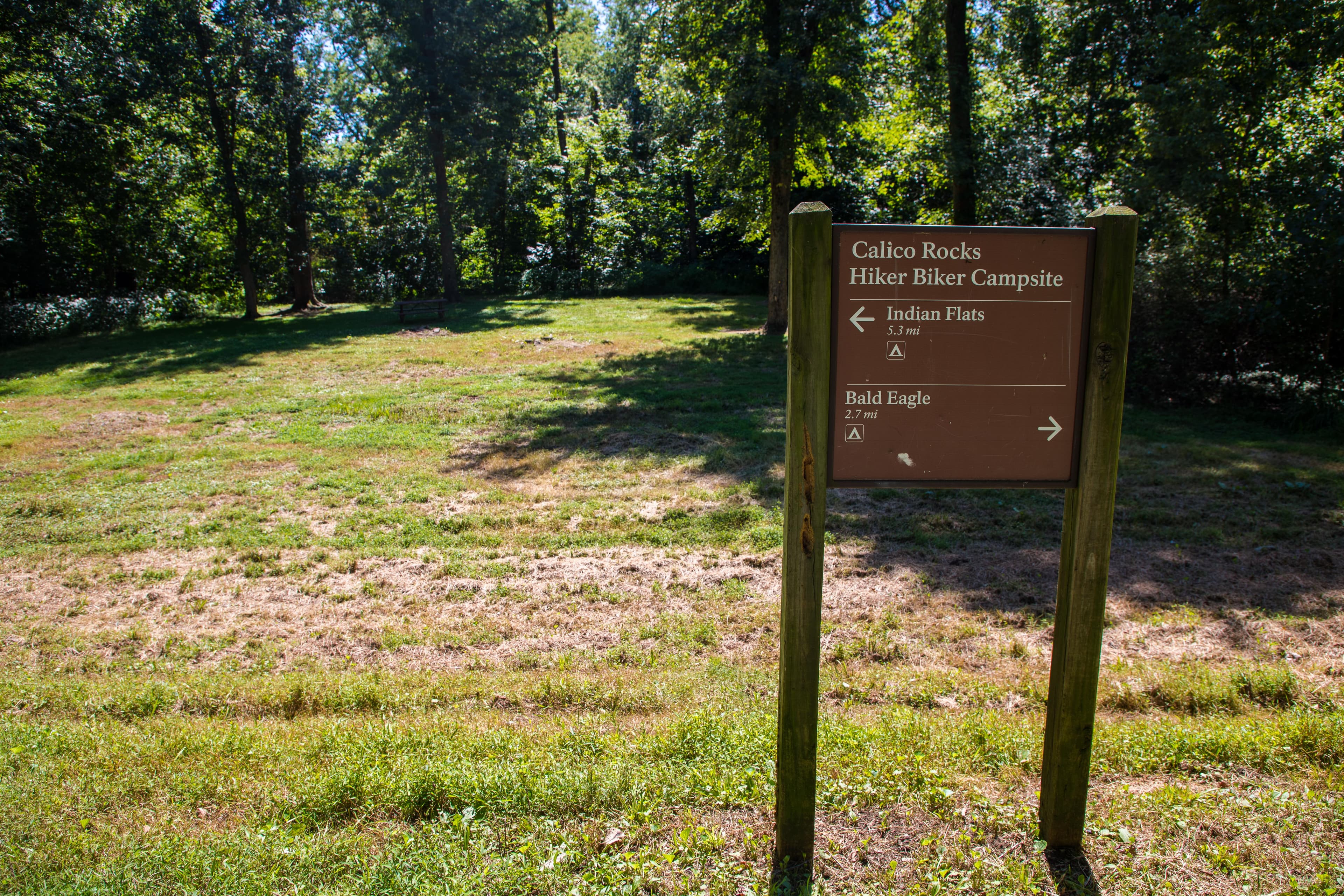
Horsepen Branch Hiker-Biker Campsite
Campground · MD

MD
During the summer of 1864, the Confederacy carried out a bold plan to turn the tide of the Civil War in their favor. They planned to capture Washington, DC and influence the election of 1864. On July 9, however, Federal soldiers outnumbered three to one, fought gallantly along the banks of the Monocacy River in an effort to buy time for Union reinforcement to arrive in Washington, DC.
From the North (U.S. 15) or West (Hagerstown): Use I-70 east and take Exit 54. Bear right then take a left onto Rt. 355. The visitor center will be on the left. From the East (Baltimore): Use I-70 west and take Exit 54. Bear left then take a left onto Rt. 355. The visitor center will be on the left. From the South (Washington): Use I-270 north to I-70 east and take Exit 54. Bear right then take a left onto Rt. 355. The visitor center will be on the the left.
Spring (March - May) Temperatures: Average high is 67 degrees with a low of 53 degrees Summer (June - August) Temperatures: Average high is 87 degrees with a low of 65 degrees Fall (September - November) Temperatures: Average high is 68 degrees with a low of 48 degrees Winter (December - February) Temperatures: Average high is 45 degrees with a low of 27 degrees (Source: www.usclimatedata.com)
Campground · MD
0.3 mi away · 1.7 mi out & back · 93 ft gain · Monocacy National Battlefield
0.4 mi away · 0.4 mi connector · 47 ft gain · Monocacy National Battlefield
0.4 mi away · 1.8 mi loop · 256 ft gain · Monocacy National Battlefield
Today: Mostly Cloudy · wind 10 to 15 mph N
Road, crowds, signal, and whether they'd go back — from people who camped here.
Been here? Tell the next visitor what the road, the crowds, and the signal were like.
From people who camped here.
Sign in to add photos from your visit.
The first one from your trip goes here.
No reviews yet. Been here? Yours would be the first.
Sign in to write a review.