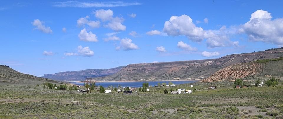
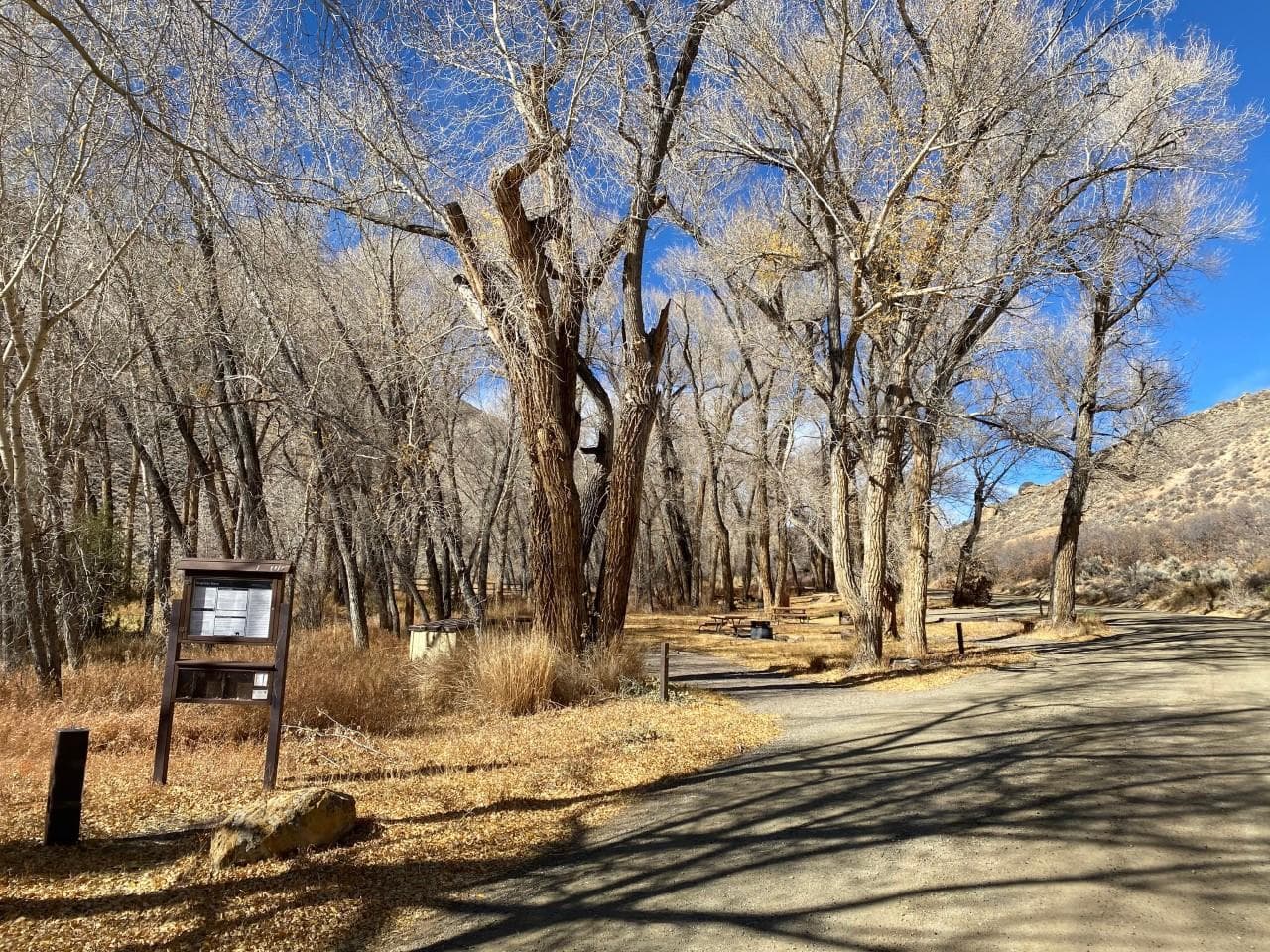
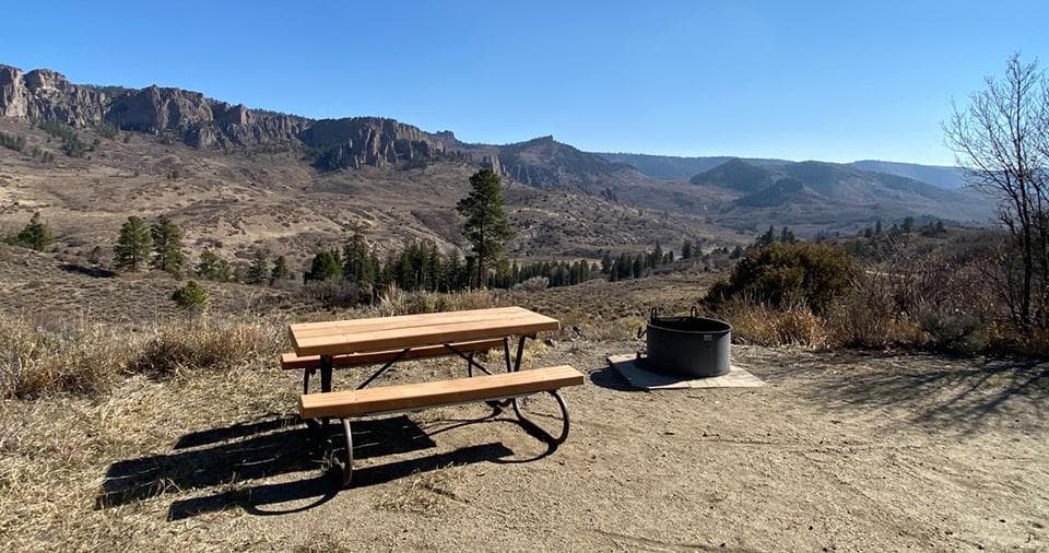
 22.5 mi away
Ponderosa Campground
Campground
Colorado
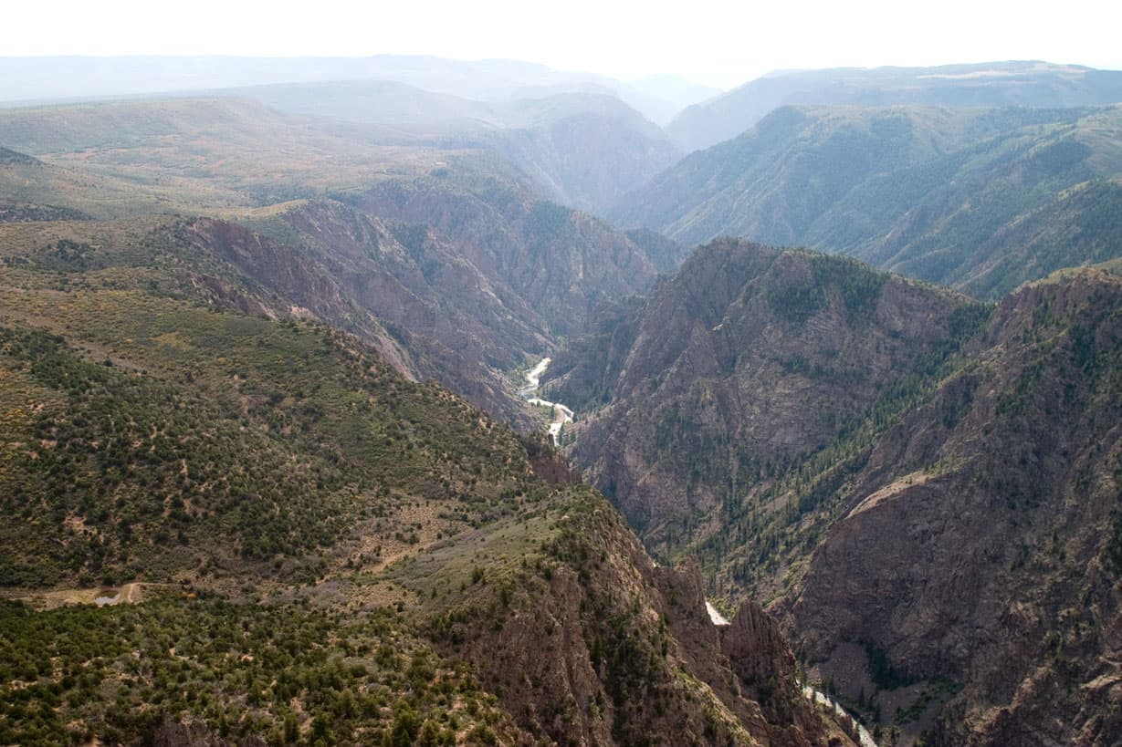
Big enough to be overwhelming, yet still intimate enough to feel the pulse of time. Come see some of the steepest cliffs, oldest rock, and craggiest spires in North America. Forces of nature and the Gunnison River sculpted this canyon over two million years. The result is a vertical wilderness of rock, water, and sky.
South Rim: 7 miles north on CO Highway 347 from the intersection with U.S. Highway 50 east of Montrose. Physical/GPS address is: 9800 Highway 347, Montrose, CO 81401 North Rim: 11 miles southwest of Crawford, Colorado. From CO Highway 92, turn west on Black Canyon Road approximately 3 miles south of Crawford. Follow the road signs to the park.
Today's Weather: http://www.weather.com/weather/today/l/NPBLCA:13:US CLIMATE Weather can vary greatly throughout the day. Summer daytime temperatures range between 55 to 90F (13 to 32C), nights 45 to 60F (7 to 16C). Winter daytime temperatures range between 15 to 40F (-9 to 4C), nights 10 to 20F (-12 to -6C). Afternoon thunderstorms are common during the summer. Snow accumulation varies greatly year to year. Layered clothing appropriate for the season is recommended.
Campground · Colorado
0.2 mi away · 950 ft · 22 ft gain · Black Canyon of the Gunnison National Park
0.2 mi away · 845 ft · Black Canyon of the Gunnison National Park
0.4 mi away · 581 ft · Black Canyon of the Gunnison National Park
0.8 mi away · 211 ft · Black Canyon of the Gunnison National Park
0.9 mi away · 3432 ft · 182 ft gain · Black Canyon of the Gunnison National Park
No carrier reports signal at this spot.
Fri: Showers And Thunderstorms · wind 5 mph SSE
No reviews yet. Been here? Yours would be the first.
Sign in to write a review.
From people who camped here.
Sign in to add photos from your visit.
The first one from your trip goes here.
Road, crowds, signal, and whether they'd go back — from people who camped here.
Been here? Tell the next visitor what the road, the crowds, and the signal were like.