 36.5 mi away
Independence Rock
State Park · Wyoming
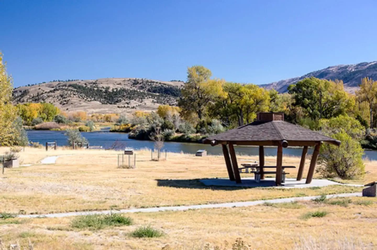
The distinctive Red Buttes stand above Bessemer Bend, the last fording site of the North Platte River on the Oregon Trail. This river, which the emigrants had followed for hundreds of miles, now turned to the south and became impassable. Toll ferries and bridges downstream of the Bend were established after 1847, but emigrants, including the handcart companies of 1856, who did not want to pay the tolls, used Bessemer Bend as a low-water crossing. There is a BLM interpretive site at the crossing. This site has a parking area, picnic tables, a vault toilet and an interpretive trail. It is a non-fee area and is ADA accessible.
Dispersed camping
Road, crowds, signal, and whether they'd go back — from people who camped here.
Been here? Tell the next visitor what the road, the crowds, and the signal were like.
From people who camped here.
Sign in to add photos from your visit.
The first one from your trip goes here.
No reviews yet. Been here? Yours would be the first.
Sign in to write a review.
Today: Chance Showers And Thunderstorms · wind 8 mph WSW