 44.4 mi away
Upper Pines Campground
Campground · California

California
McGee Campground provides a pleasant, sunny location for family camping between Bishop and Mammoth Lakes in the eastern Sierra Nevada Mountains. The campground's proximity to U.S. Highway 395 and the adjacent John Muir Wilderness make it a hot spot for hiking, rock climbing, fishing, wildlife viewing, horseback riding, hunting, photography and geology study.
Majestic scenery and challenging trails draw in hikers, mountain bikers and equestrian enthusiasts. The McGee Creek Trailhead, a popular trail for hiking and horseback riding into the McGee Canyon area of the John Muir Wilderness, lies just two miles from the campground. The eastern Sierras are known for exceptional trout fishing. McGee Creek and nearby Crowley Lake have some of the best fishing in the area. The area's interesting geology also makes it popular for rock hounding.
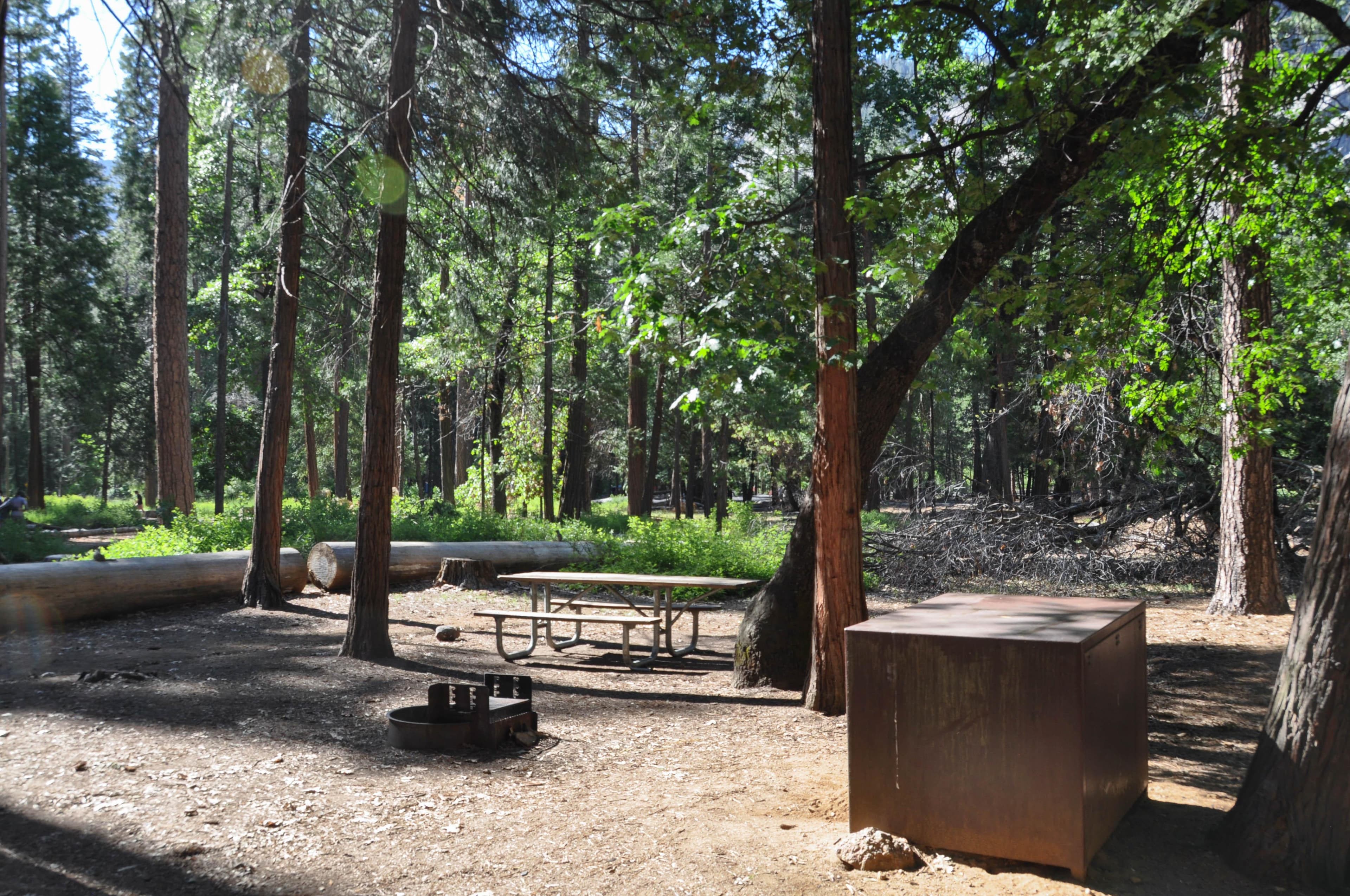
McGee offers about 28 reservable, open and sunny campsites. Each site has a picnic shelter. Roads and camping spurs are paved. Bear-proof lockers are provided for food storage and firewood is for sale on-site.
The campground is situated in an expanse of silvery white sagebrush and near a meadow lined with aspens. It sits at an elevation of 7,600 feet and offers outstanding views of high mountain peaks in the John Muir Wilderness. McGee Creek runs alongside it, with some sites sitting along the banks of the water.
For campers interested in local events, Mule Days are held in Bishop over Memorial Day weekend, and the Mammoth Jazz Jubilee is hosted in Mammoth in mid-July. Visitors can explore the magnificent John Muir Wilderness, which stretches for 100 miles along the crest of the Sierra Nevada Mountains. It is a land of lofty snow-capped mountains, deep canyons and vast expanses of glacially-carved terrain, and offers extensive hiking, mountain biking and horseback riding trails.
Campground
From people who camped here.
Sign in to add photos from your visit.
The first one from your trip goes here.
No reviews yet. Been here? Yours would be the first.
Sign in to write a review.
Today: Sunny · wind 15 mph SW
Road, crowds, signal, and whether they'd go back — from people who camped here.
Been here? Tell the next visitor what the road, the crowds, and the signal were like.