 47.6 mi away
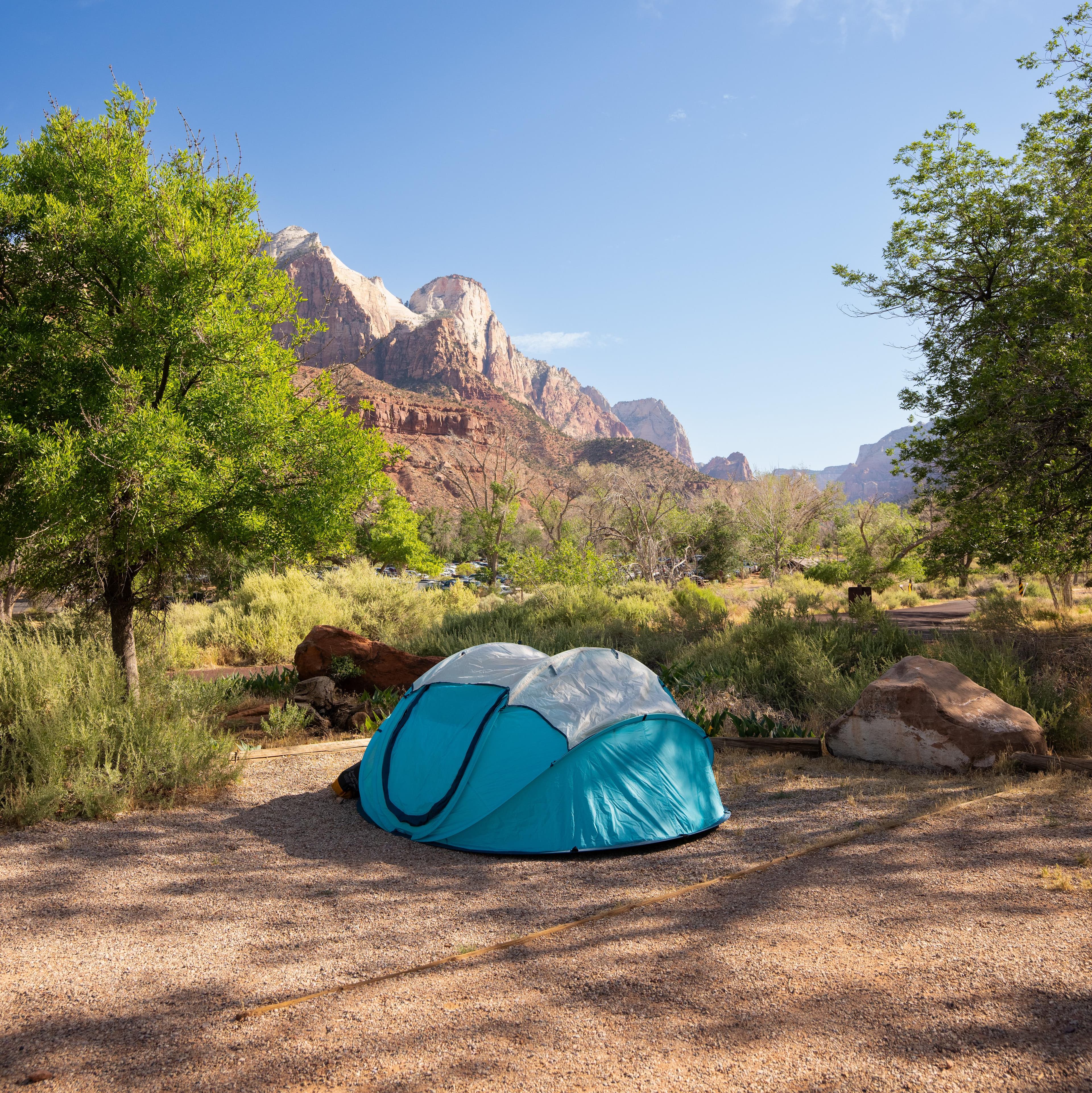
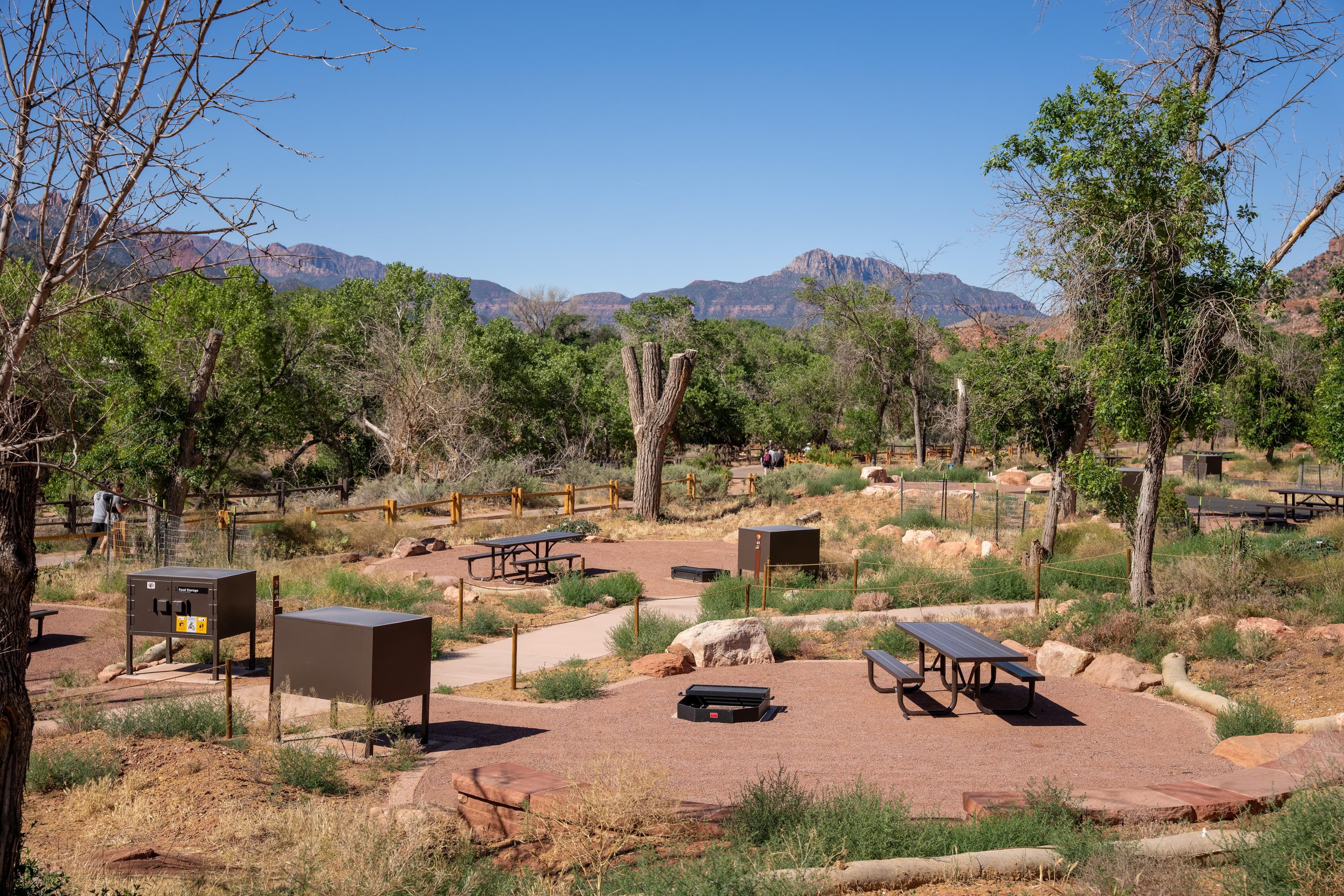
South Campground
Campground · Utah

Arizona
Flowing from its origin some 50 miles to the north in southern Utah, Kanab Creek and its tributaries have cut a network of vertical-walled gorges deep into the Kanab and Kaibab Plateaus. Within these walls lies a maze of water and wind carved fins, knobs, potholes, and other intricately sculptured forms. Elevations range from near 2,000 feet at the river to 6,000 feet at the rim's edge. The upper reaches serve as a winter range for the Kaibab mule deer. Vegetation is varied and sparse except for heavy riparian growth in the creek bottom. There are few dependable water sources here for man or beast during the summer months when temperatures approach 120 degrees. A number of trails lead into this rather hostile environment but many are poorly marked and infrequently maintained. Limited and arduous access to the Kanab Creek area adds a measure of remoteness that says this is truly wilderness. Kanab Creek Wilderness Access Map "Landscapes" Images Album
68,526 acres, managed by USFS
Campground · Arizona
3.4 mi away · 4.1 mi · 217 ft gain · lwn
Today: Sunny then Slight Chance Showers And Thunderstorms · wind 7 to 12 mph S
No booking details listed for this place.
No carrier reports signal at this spot.
No reviews yet. Been here? Yours would be the first.
Sign in to write a review.
Road, crowds, signal, and whether they'd go back — from people who camped here.
Been here? Tell the next visitor what the road, the crowds, and the signal were like.
From people who camped here.
Sign in to add photos from your visit.
The first one from your trip goes here.