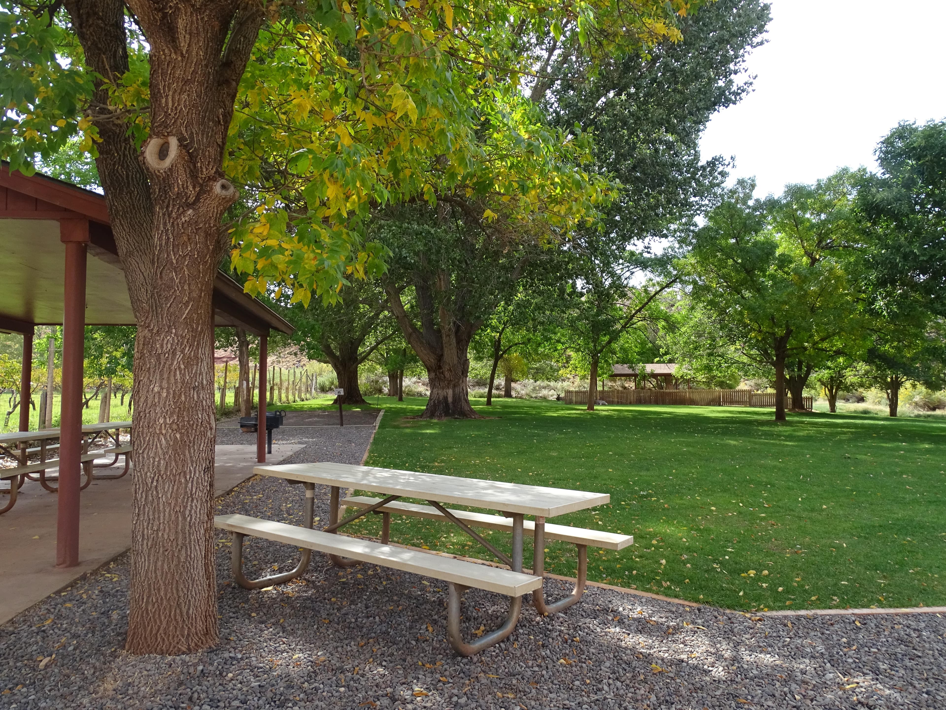
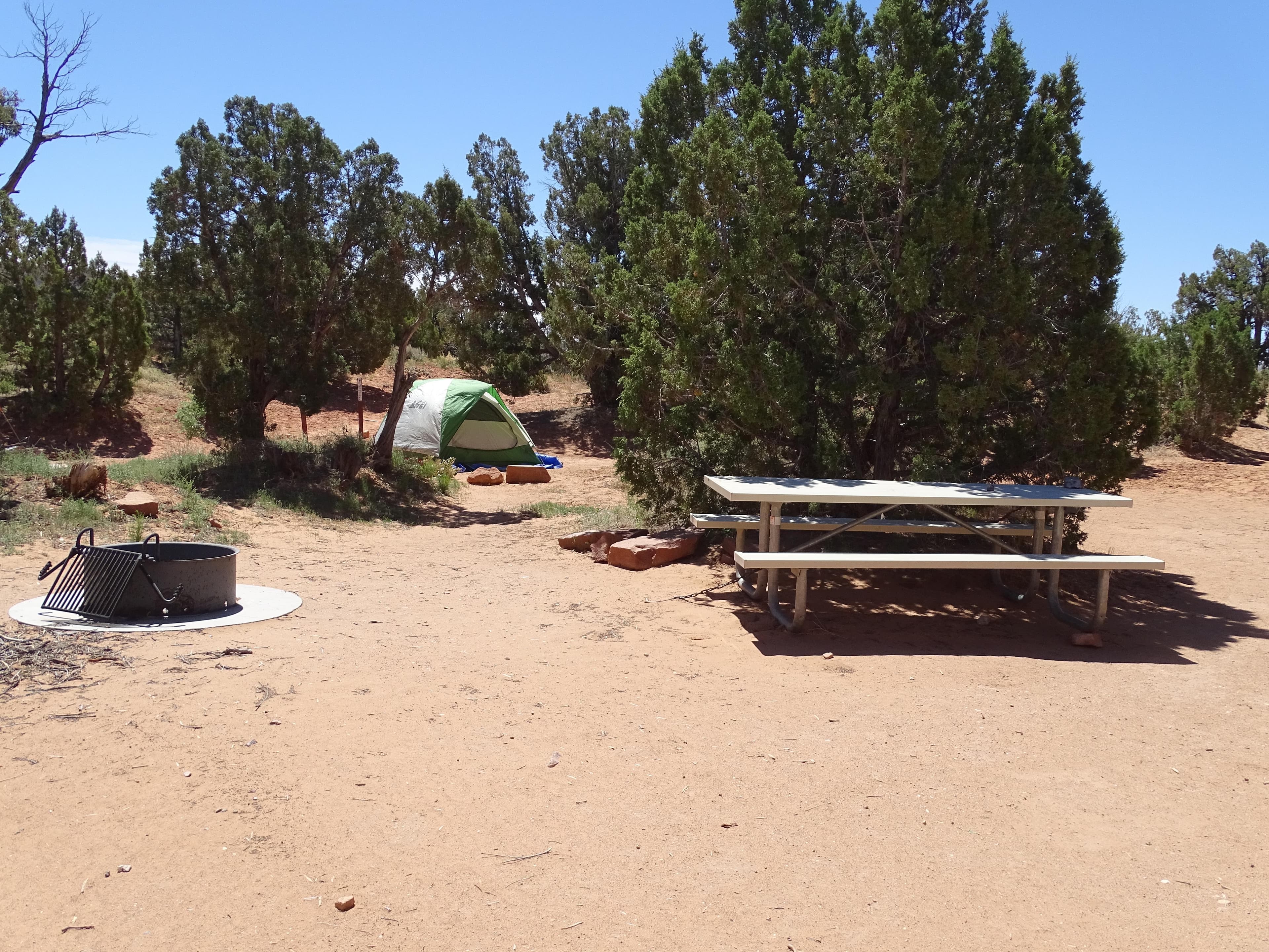
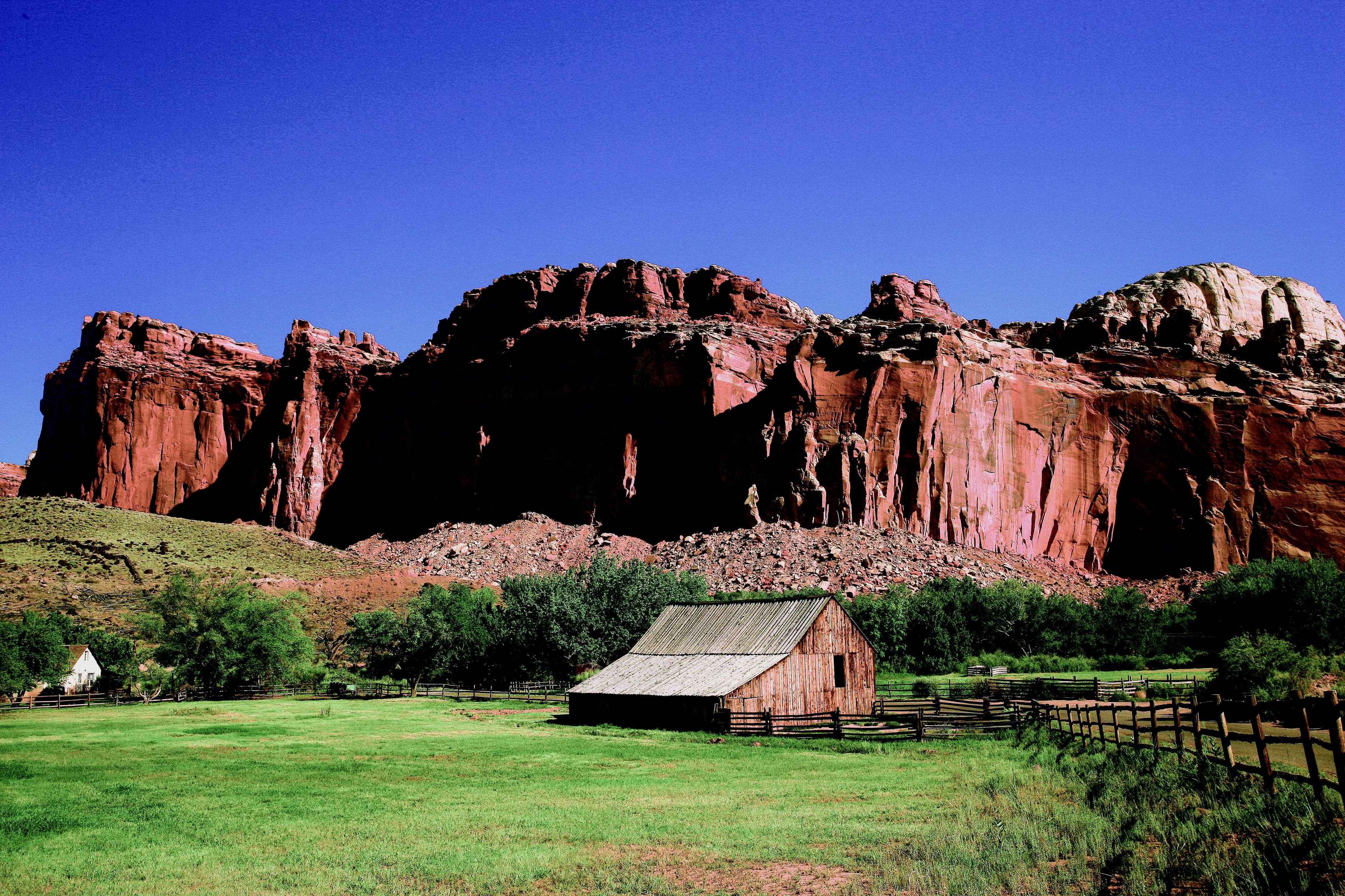
 0.1 mi away
Fruita Campground
Campground · Utah
Utah
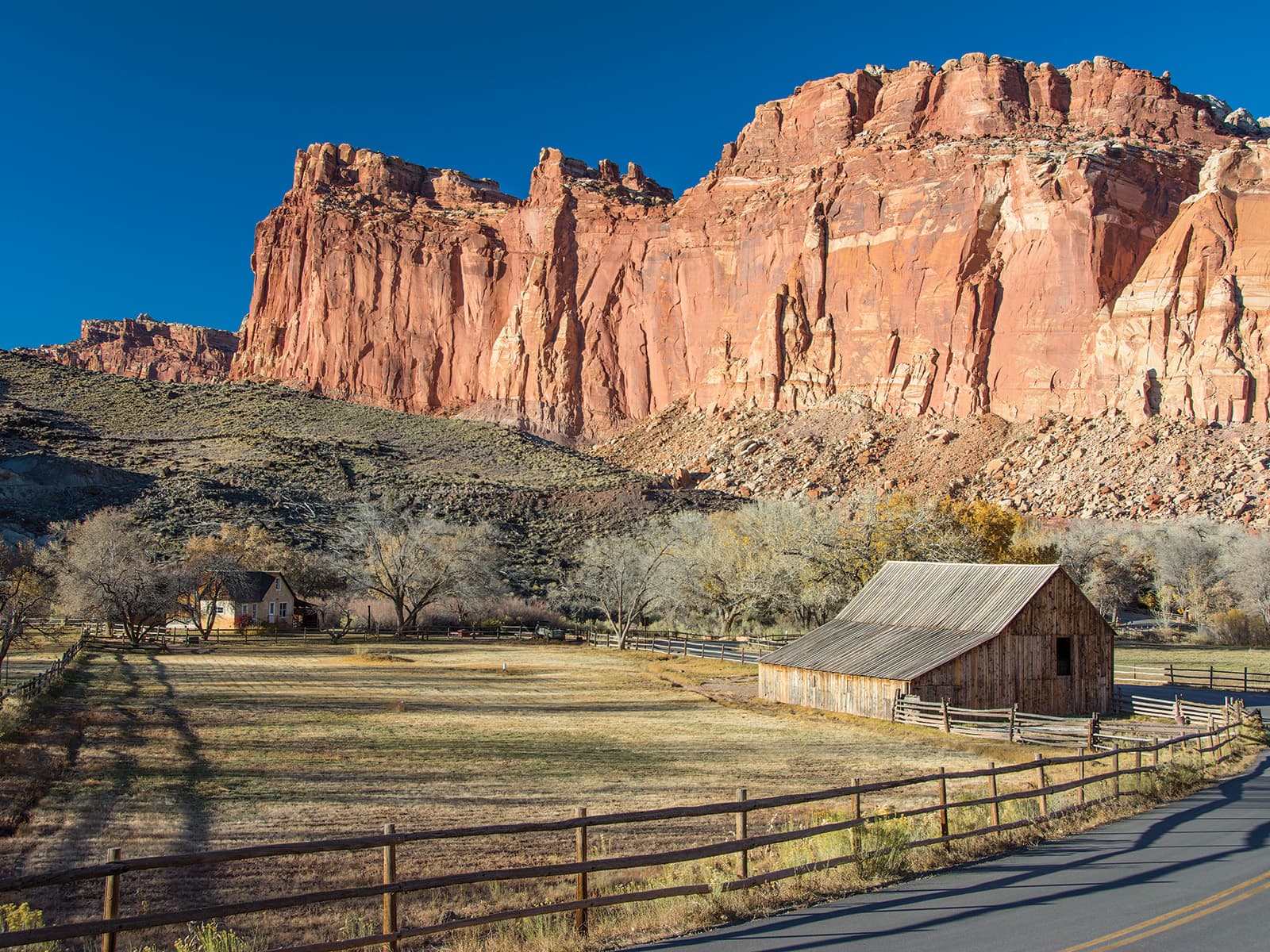
Located in south-central Utah in the heart of red rock country, Capitol Reef National Park is a hidden treasure filled with cliffs, canyons, domes, and bridges in the Waterpocket Fold, a geologic monocline (a wrinkle on the earth) extending almost 100 miles.
From I-70: Take exit 149, then take UT-24 west toward Hanksville; continue for 43.8 miles (70.5 km). Turn right to continue on UT-24 west and continue for 37.3 miles (60 km). From I-15: take exit 188 then US-50 east toward Scipio. Left on UT-50; continuing 0.7 miles (1.1 km). Turn right onto US-50 east; continue for 24.4 miles (39.3 km). Turn right onto UT-260 south and continue 4.2 miles (6.8 km), then right on UT-24 for 71.3 miles. UT-12: North on highway 12 to Torrey, UT. Right onto UT-24.
Weather is posted daily; check at the park visitor center for weather updates. Do not enter into narrow canyons if there is a threat of rain or if rain has been falling in the area. Rain and snow may also make dirt roads impassable to vehicles.
No reviews yet. Been here? Yours would be the first.
Sign in to write a review.
No carrier reports signal at this spot.
0.3 mi away · 1.6 mi · 403 ft gain · Capitol Reef National Park
0.5 mi away · 1.2 mi · Capitol Reef National Park
0.5 mi away · 1267 ft · 84 ft gain · Capitol Reef National Park
0.5 mi away · 1.1 mi · 39 ft gain · Capitol Reef National Park
0.6 mi away · 370 ft · Capitol Reef National Park
From people who camped here.
Sign in to add photos from your visit.
The first one from your trip goes here.
Road, crowds, signal, and whether they'd go back — from people who camped here.
Been here? Tell the next visitor what the road, the crowds, and the signal were like.
Today: Chance Showers And Thunderstorms · wind 8 to 14 mph S