Nearby Campgrounds
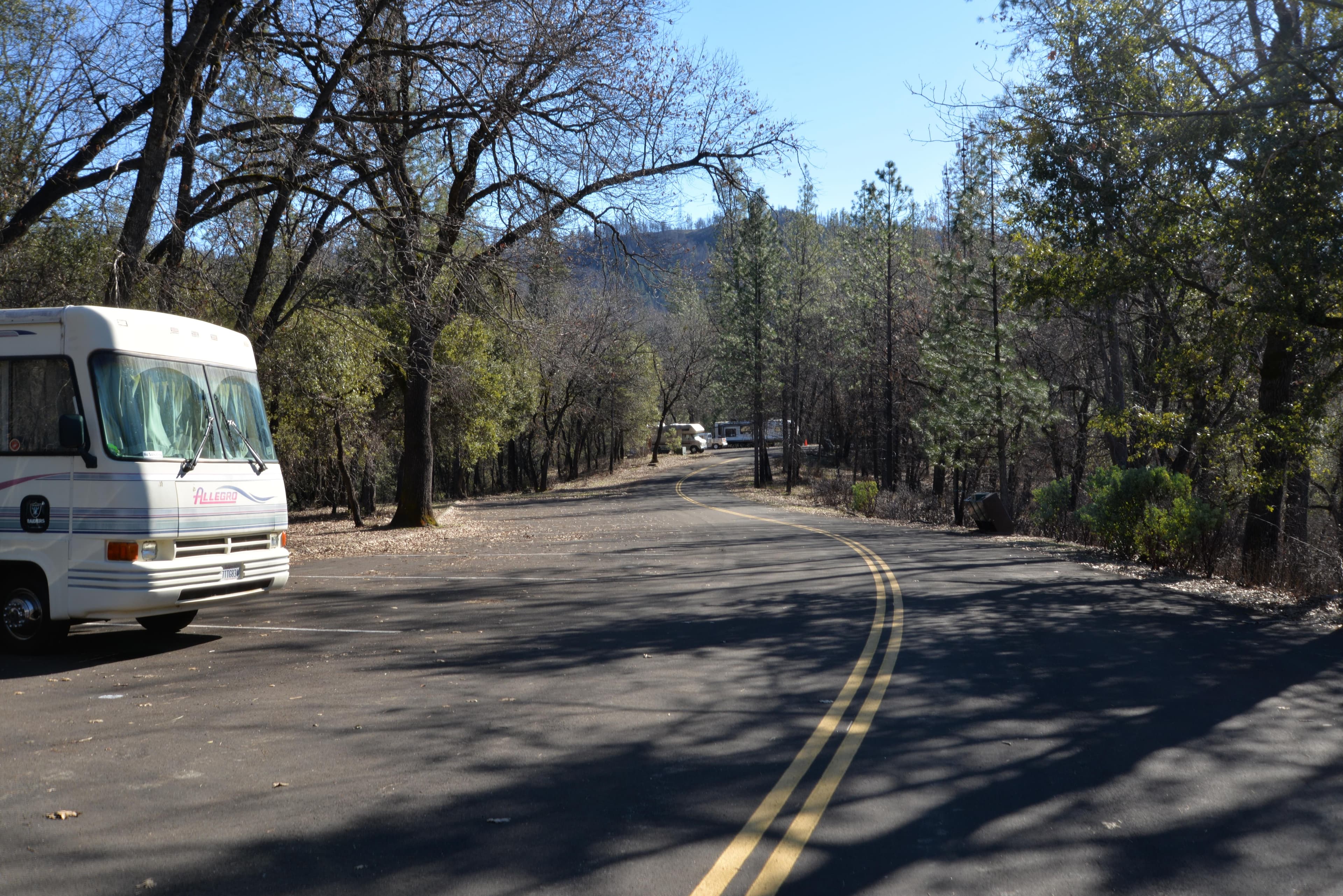
§ 02 — OVERVIEW
on the unit centers on the two designated wilderness areas of Mount Shasta and Castle Crags. Dominating the landscape for several hundred miles in all directions, Mount Shasta looms 14,162 feet, a beautiful snow-cloaked massif, second only to Mount Rainier in height among the famous Cascade Range volcanoes.
No trails lead up Mount Shasta, but trails provide access to the Wilderness and the foot of the mountain. The Wilderness shares its southern border with Castle Crags State Park. You'll find 27.8 miles of maintained trails starting from nine trailheads. The Pacific Crest Trail rambles for 19 miles through the area. Most of the National Forest lands on the Mt. Shasta district are open for dispersed camping. Remember, most dispersed sites will be affected by campfire restrictions starting sometime in July. When restrictions are in effect, you may still operate a gas stove and/or a gas-only barbeque with a valid campfire permit. Wood fires and charcoal barbeques are strictly prohibited. Please use proper sanitation methods for human waste, pack out all of your garbage, and leave no trace of your stay. Current list of Road Closures, Campground & Trail information.
§ 03 — TRAILS NEARBY
§ 04 — CONDITIONS
National Weather Service · seven-day outlook · updated hourly
§ 05 — SIGNAL
FCC broadband data · actual signal varies in remote terrain
§ 06—09 — FROM THE FIELD
Community Intel from visitors, written reviews, dated trip reports, and reader-submitted photographs.
§ 07 — REVIEWS
§ 08 — TRIP REPORTS
§ 09 — COMMUNITY PHOTOS
Nearby Trails
Sign in to add your own photos.
No community photos yet — be the first to share one from your visit.
Trip Reports
0 reports
§ 01 — VITALS
No cell coverage detected at this coordinate.
Sun
71°F
Sunny
9 to 13 mph S
Mon
71°F
Sunny
8 mph SSE
Tue
73°F
Sunny
2 to 6 mph ESE
Wed
75°F
Sunny
2 to 7 mph S
Thu
76°F
Sunny
0 to 7 mph SSE
Fri
78°F
Sunny
0 to 6 mph SSE
Sat
79°F
Sunny
3 mph ENE
Sign the ledger to file a review.