Nearby Campgrounds
§ 02 — OVERVIEW
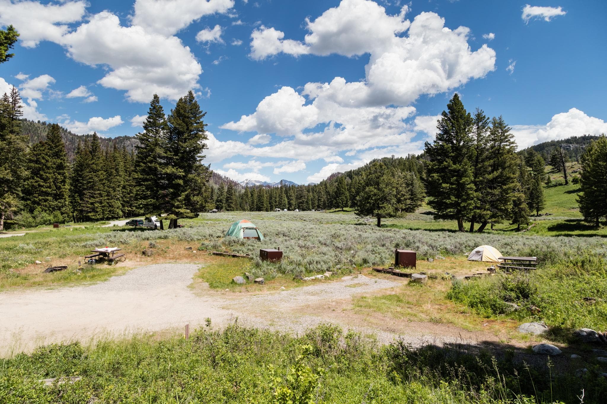
Watkins Creek Trailhead starts off with Trail #215, it is a trailhead that connects to three trail opportunites including: Trail #215 to #209 - Coffin Lake - A rountrip 10 mile out and back hike - Coffin Lake gains 1800 feet elevation beginning in an open meadow and gain elevation to the alpine lake.
Trail #215 continues on and connects to the Continental Divide Trail A third choice is #215 to trail #209 which then connects to trail #216, West Fork of Watkins Creek leading to Sheep Lake. Sheep Lake can also be accessed through Trail #218 off Hwy 87. Refer to Forest Map and Motor Vehicle Use Map for foot and bicycle use in the area.
§ 03 — TRAILS NEARBY
§ 04 — CONDITIONS
National Weather Service · seven-day outlook · updated hourly
§ 05 — SIGNAL
FCC broadband data · actual signal varies in remote terrain
§ 06—09 — FROM THE FIELD
Community Intel from visitors, written reviews, dated trip reports, and reader-submitted photographs.
§ 07 — REVIEWS
§ 08 — TRIP REPORTS
§ 09 — COMMUNITY PHOTOS
§ 01 — VITALS
Nearby Trails
Mon
70°F
Patchy Smoke
3 to 7 mph NW
Tue
75°F
Areas Of Smoke
1 to 7 mph NNW
Wed
79°F
Sunny
0 to 7 mph WNW
Thu
86°F
Sunny
0 to 8 mph WSW
Fri
89°F
Sunny
0 to 12 mph SW
Sat
88°F
Sunny
0 to 13 mph WSW
Sun
87°F
Sunny
0 to 14 mph SW
AT&T
T-Mobile
Verizon
Based on FCC availability data. Actual signal may vary in remote terrain.
Sign in to add your own photos.
No community photos yet — be the first to share one from your visit.
Trip Reports
0 reports
Sign the ledger to file a review.