 0.6 mi away
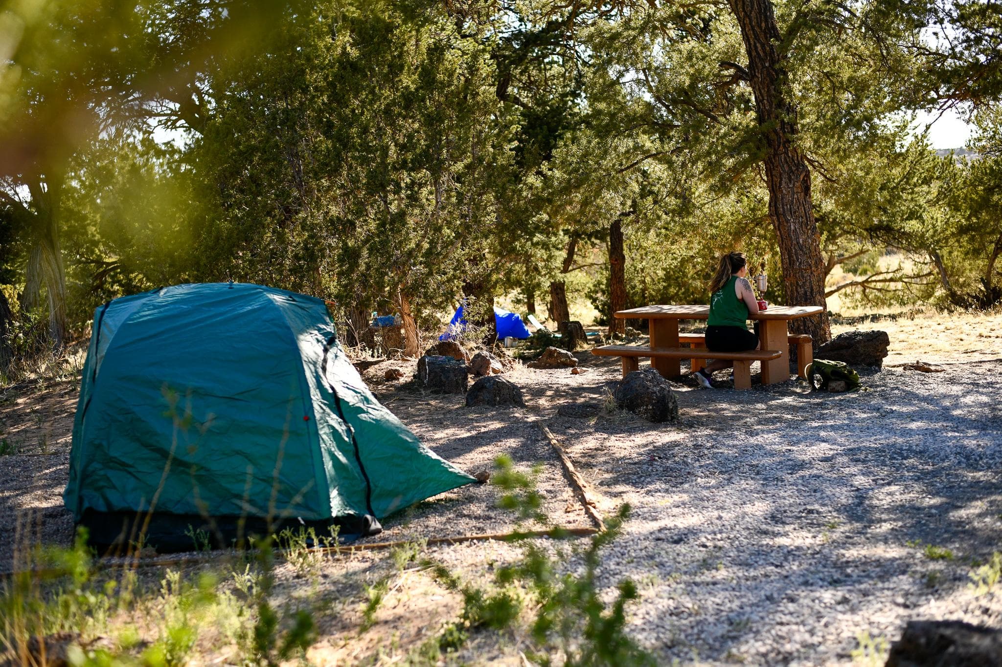
El Morro Campground
Campground · New Mexico
New Mexico
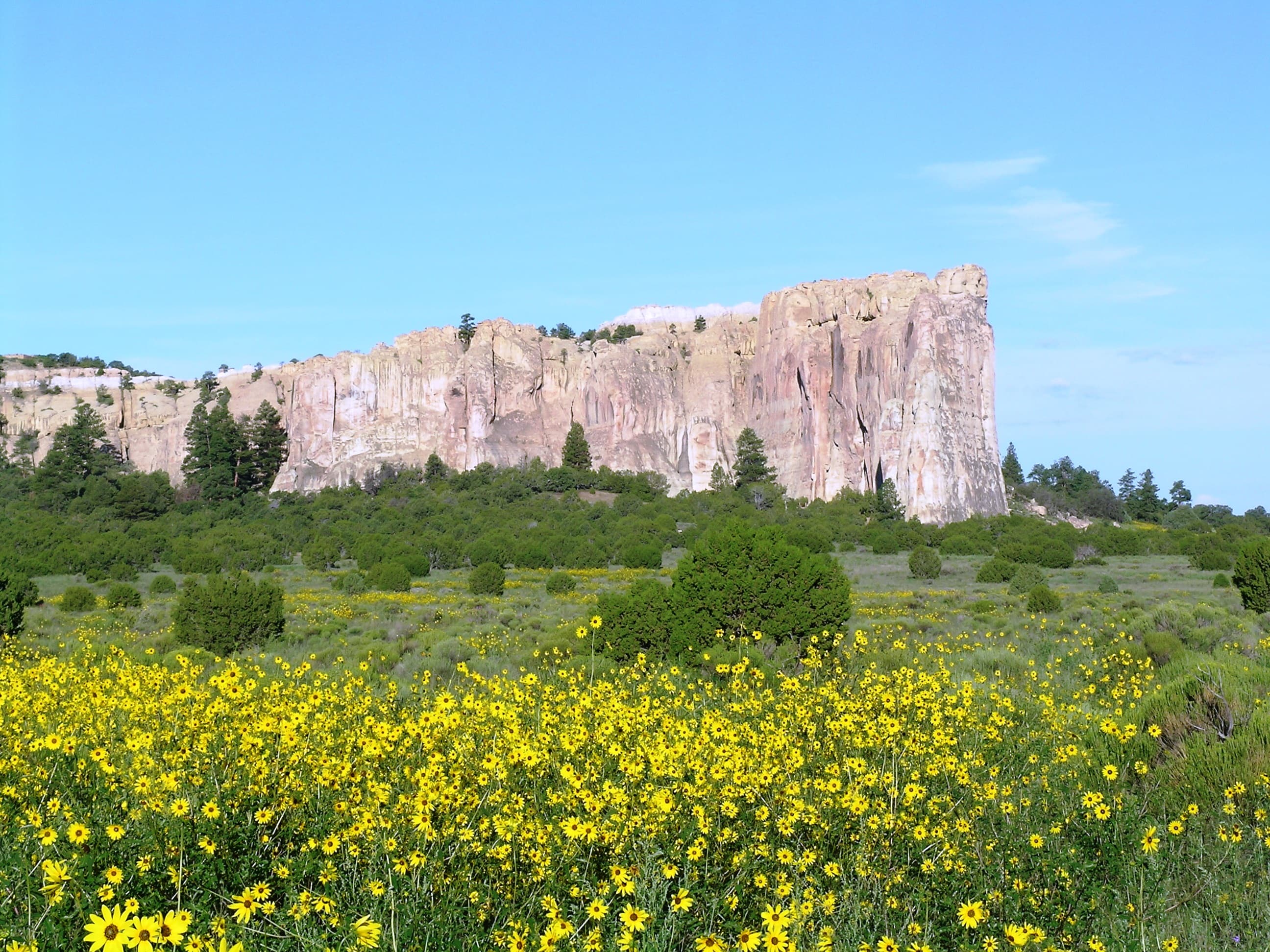
Imagine the refreshment of finding water after days of dusty travel. A reliable waterhole hidden at the base of a sandstone bluff made El Morro (the headland) a popular campsite for hundreds of years. Here, ancestral Puebloans, Spanish, and American travelers carved over 2,000 signatures, dates, messages, and petroglyphs. Make El Morro National Monument a stopping point on your travels.
From Albuquerque, NM, or from the east: take Interstate 40 west to Grants. At exit 81, go south on Highway 53 for 42 miles to El Morro National Monument. From Flagstaff, AZ, or from the west: take Interstate 40 east to Gallup. At exit 20, go south on Highway 602 for about 31 miles. Turn east (left) onto Highway 53. El Morro is 25 more miles.
At an elevation of 7,219 feet (2200 meters) winters can be cold and snowy. Summers are warm with afternoon thunder showers from mid-July through mid-September. Trails can close unexpectedly due to severe weather. Average snowfall: 40 inches per year. Average precipitation (snowmelt and rain): 16 inches per year. Warmest month: July, with average highs of 84 degrees and lows of 52 degrees. Coldest months: December and January, with average lows of 14-15 degrees, and average highs of 44-45 degrees.
Sat: Mostly Sunny then Isolated Showers And Thunderstorms · wind 0 to 15 mph SW
No carrier reports signal at this spot.
No reviews yet. Been here? Yours would be the first.
Sign in to write a review.
Road, crowds, signal, and whether they'd go back — from people who camped here.
Been here? Tell the next visitor what the road, the crowds, and the signal were like.
From people who camped here.
Sign in to add photos from your visit.
The first one from your trip goes here.