 0.8 mi away
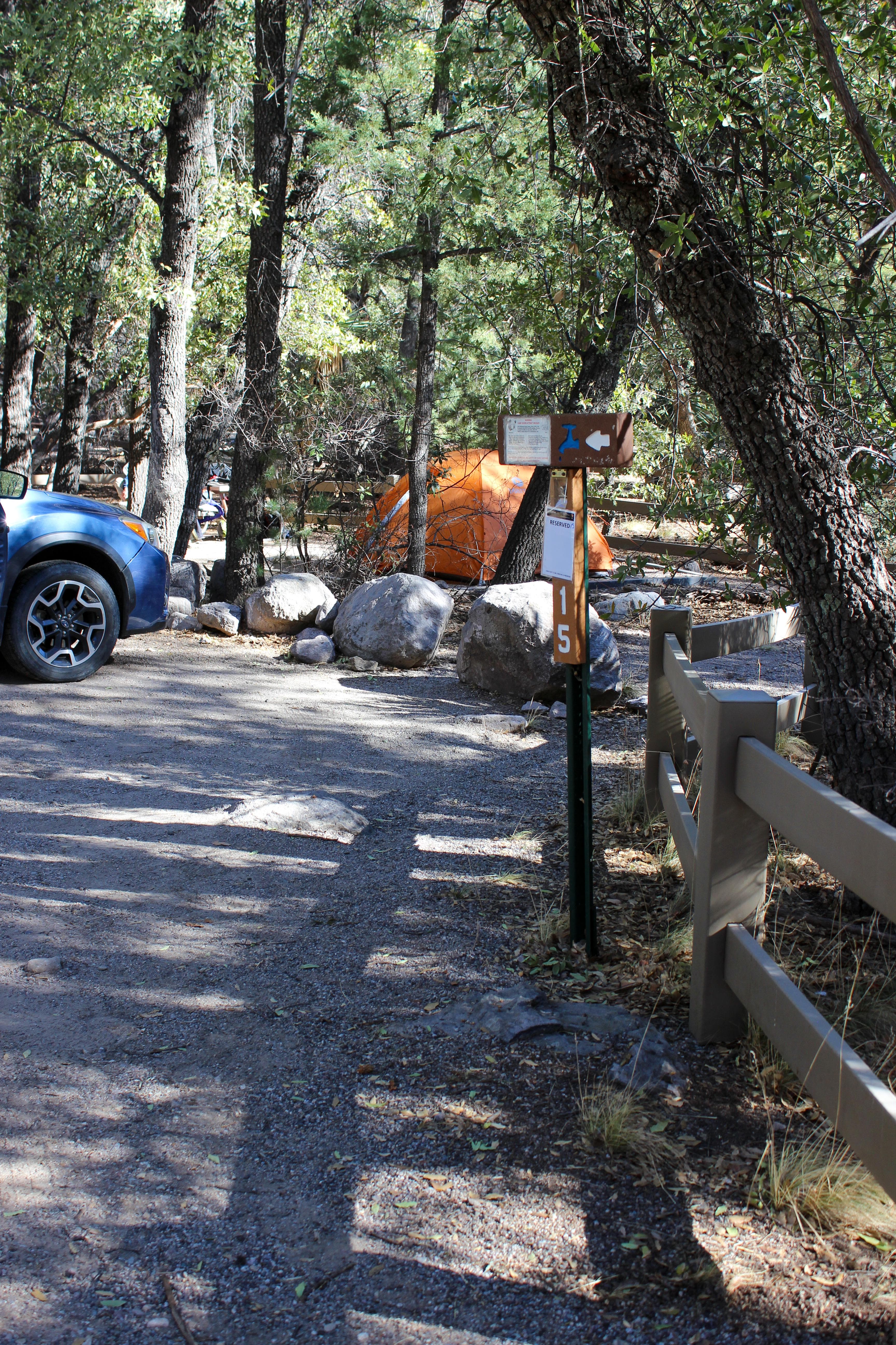
Bonita Canyon Campground
Campground
Arizona
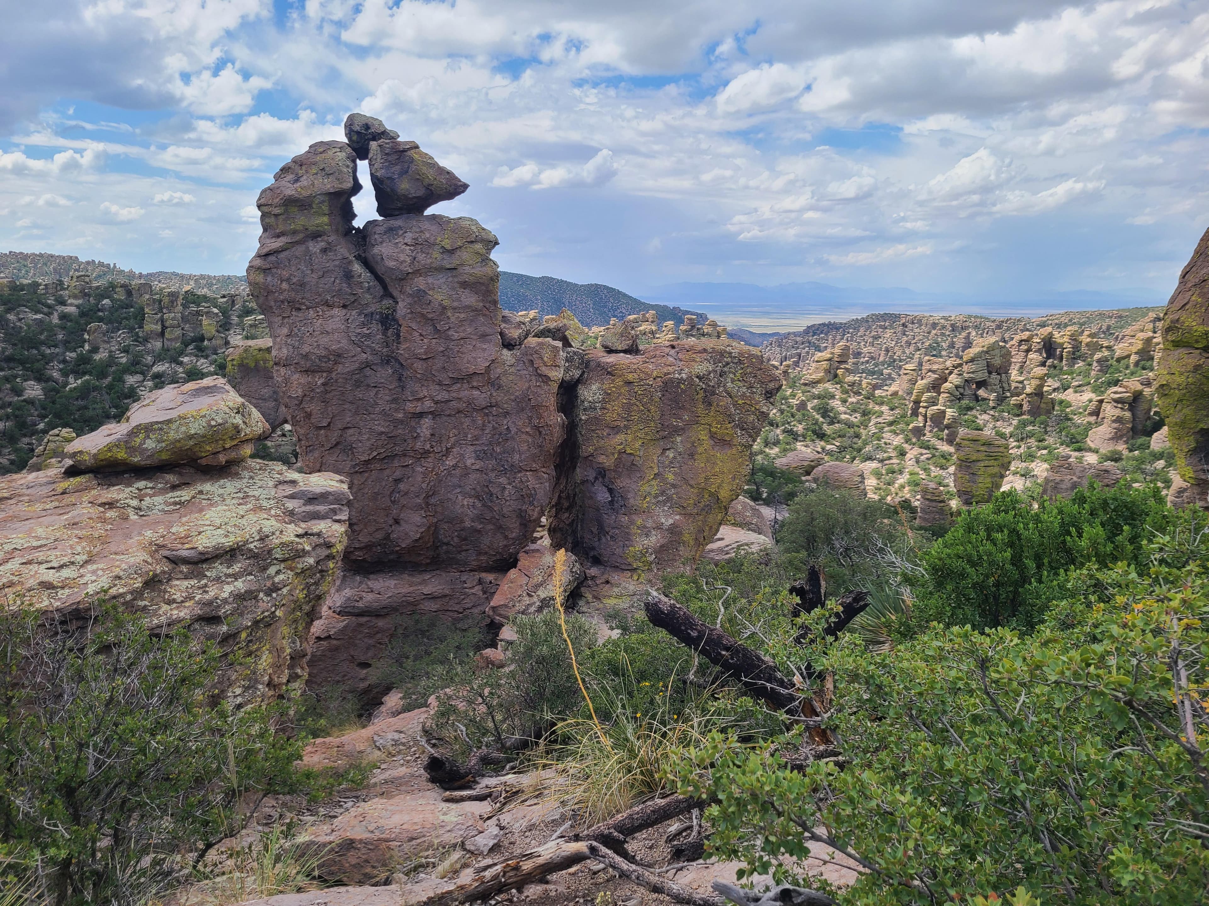
Explore rhyolite pinnacles and balanced rocks on foot or by car. Relax at the campground under star-filled, dark skies. See how a mountain range rising between two deserts creates a home for diverse wildlife. Imagine history here. Prehistoric peoples, Apaches, Buffalo Soldiers, Civilian Conservation Corps, ranchers, and homesteaders inhabited Chiricahua.
Chiricahua National Monument is in the southeast corner of Arizona. Interstate I10 from LA or Tucson to El Paso or Lordsburg runs about 40 miles north of the park. Exits in Willcox to Hwy 186 are the most direct paved access to the park from the north. (Exits 336, 340, and 344). Note: Exit 366 to Bowie will require driving 10 miles of dirt road. This route is recommended only if stopping at Fort Bowie National Historic Site.
The park elevation goes from 5,124 feet at the entrance to 7,310 feet on Sugarloaf Mountain. The top of the park can be 5-10 degrees cooler and windier than the visitor center and entrance. The higher elevations generally have more sun exposure. Clothing layers are always recommended here. The park is often cooler than cities in Arizona with summer highs in the 80s and 90s. Winter lows are often near or below freezing.
From people who camped here.
Sign in to add photos from your visit.
The first one from your trip goes here.
Today: Slight Chance Showers And Thunderstorms · wind 7 mph SSW
No reviews yet. Been here? Yours would be the first.
Sign in to write a review.
Road, crowds, signal, and whether they'd go back — from people who camped here.
Been here? Tell the next visitor what the road, the crowds, and the signal were like.