 38.7 mi away
Outlaw Cave Campground
Campground
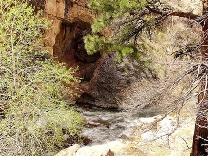
Tensleep Canyon Interpretive Site sits along the Cloud Peak Skyway. Stop and read the interpretive signs and view the beautiful scenery. Tensleep Canyon Ages ago, these mountains were deep within the Earth’s crust, and the area that is known today as the Bighorn Mountains was a basin. Beginning about 75 million years ago the land began to slowly rise above the sea bed reaching an elevation of nearly 20,000 feet. Since that time, the eroding forces of wind, water, and ice have removed thousands of feet of rock resulting in what you see today. The cliffs of Tensleep Canyon are composed predominately of massive layers of limestone. This limestone layer underlies the towns of Tensleep and Worland and serves as their major source of water. The water is removed from the layer by deep wells. Glaciers carved out the valley of Tensleep Canyon within the last 250,000 years. Evidence of these ancient glaciers can be seen in the U-shape of the valley bottom, and the piles of boulders, or glacial moraine, left along West Tensleep Creek. The “West Moraine” stretches for 10 miles, making it the longest moraine in the Bighorn Mountains. Weathering forces and the flow of the creek continue to wear away the rock in Tensleep Canyon. In the winter, ice flows can be seen on the canyon walls.
5.9 mi away · 1.6 mi · 23 ft gain
6.0 mi away · 1.2 mi · 527 ft gain
6.6 mi away · 1531 ft · 231 ft gain
6.7 mi away · 4.6 mi · 489 ft gain
8.9 mi away · 1.3 mi · 706 ft gain
Campground · Wyoming
No reviews yet. Been here? Yours would be the first.
Sign in to write a review.
Road, crowds, signal, and whether they'd go back — from people who camped here.
Been here? Tell the next visitor what the road, the crowds, and the signal were like.
From people who camped here.
Sign in to add photos from your visit.
The first one from your trip goes here.
Sun: Showers And Thunderstorms Likely · wind 6 mph W
No carrier reports signal at this spot.
