§ 02 — OVERVIEW
The Marias River starts in Glacier County at the confluence of the Two Medicine River and Cut Bank Creek. It flows generally southeastward from this point and is impounded by the Tiber Dam to form Lake Elwell.
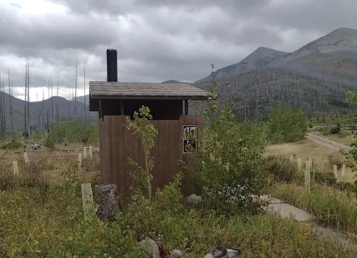
About 50 miles downstream of the dam, it receives its principal tributary, the Teton River, shortly before entering the Missouri River at Loma. T he Marias River was named in 1804 by Meriwether Lewis for his cousin, Maria Wood. There are three BLM river access sites: Sullivan Bridge launch site, Pugsley Bridge Recreation Area, and Moffat Bridge Recreation Area. Located at the headwaters of the Marias River, the confluence of Two Medicine River and Cut Bank Creek, this scenic launch point has a gravel road access and beautiful riparian vegetation adjacent to sheer cliffs.
§ 03 — CONDITIONS
National Weather Service · seven-day outlook · updated hourly
§ 04 — SIGNAL
FCC broadband data · actual signal varies in remote terrain
No cell coverage detected at this coordinate.
§ 05—08 — FROM THE FIELD
Community Intel from visitors, written reviews, dated trip reports, and reader-submitted photographs.
§ 06 — REVIEWS
§ 07 — TRIP REPORTS
§ 08 — COMMUNITY PHOTOS
Sign in to add your own photos.
No community photos yet — be the first to share one from your visit.
§ 01 — VITALS
Today
82°F
Patchy Smoke
10 mph N
Tue
82°F
Partly Sunny
1 to 12 mph E
Wed
89°F
Sunny
2 to 6 mph E
Thu
95°F
Sunny
1 to 9 mph WSW
Fri
94°F
Sunny
10 to 24 mph WSW
Sat
93°F
Sunny
12 to 25 mph WSW
Sun
91°F
Sunny
10 to 18 mph WSW
Trip Reports
0 reports
Sign the ledger to file a review.